First Alert Forecast: Big south shore surf, a few more windward showers Sunday
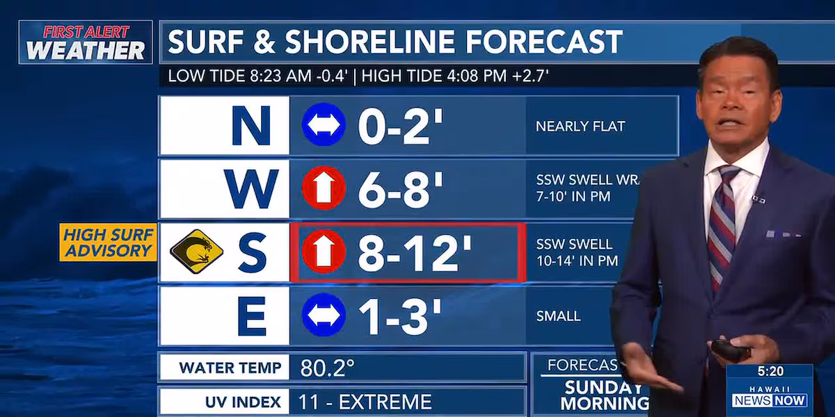
HONOLULU (HawaiiNewsNow) – We’ll start with the surf, with a High Surf Advisory posted for all south-facing shorelines through 6 a.m. Tuesday. Waves are expected to rise to 8 to 12 feet by Sunday morning and then 10 to 14 feet by afternoon.
Read more King Kamehameha Day highlights culture, unity amid funding cuts
Some of the energy from the south-southwest swell will also impact west-facing shorelines, with waves peaking near 7 to 10 feet.
As for the rest of the weather, trade wind conditions are expected for much of the coming week. A band of moisture is expected to bring a higher chance of windward and mauka showers late Sunday into Monday.
View the latest weather conditions here.
For the rest of the week, winds will ease up again around Wednesdsay with a chance for afternoon sea breezes and isolated interior showers, especially for the islands of Maui and Hawaii.
Read more Hundreds take part in annual 5K Run to prevent veteran homelessness
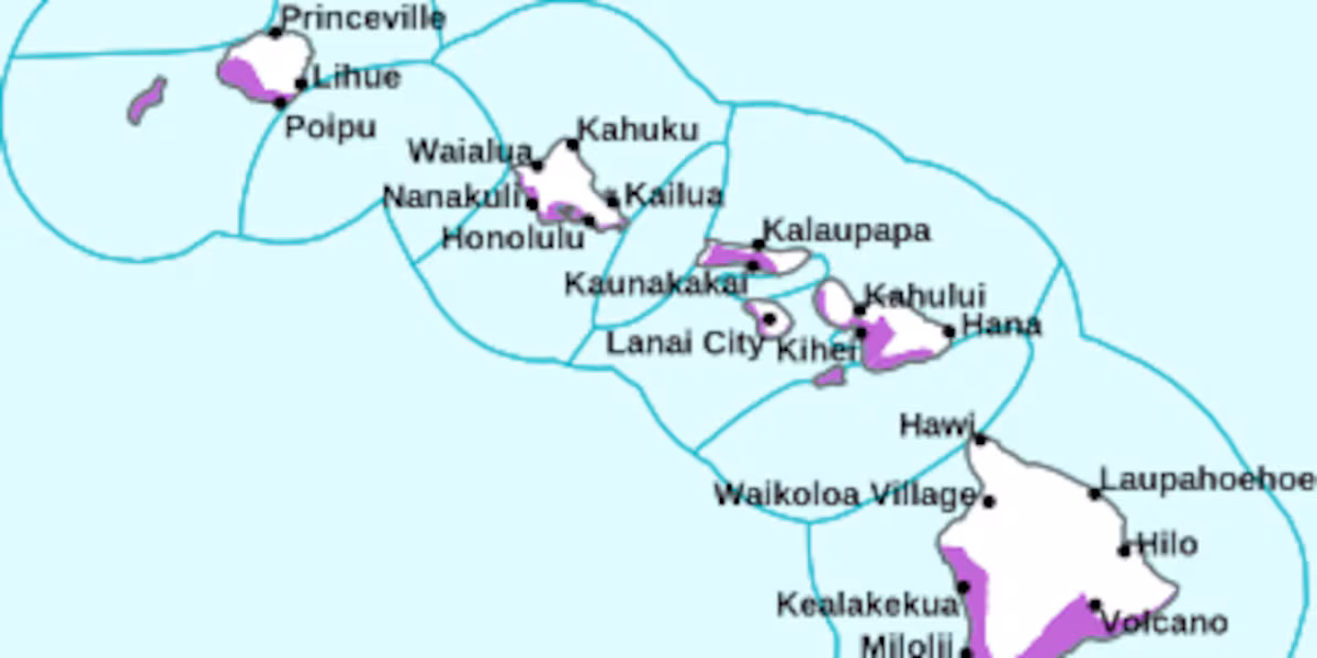
Back at the shoreline, we’re tracking higher-than-normal tides that will cause minor coastal flooding through Tuesday, especially during the late afternoon peak high tides.
Download the HNN Weather app from the Apple App Store or Google Play for the latest updates from your First Alert Weather Team: chief meteorologist Jennifer Robbins, meteorologist Drew Davis, and weather anchors Guy Hagi, Ben Gutierrez, and Billy V.
Read more Crash shuts down part of H-1 Fwy. East


Post Comment