What would a major hurricane landfall in Hawaii look like today?
HONOLULU (HawaiiNewsNow) – The last major hurricane to make landfall in Hawaii was over 30 years ago: Hurricane Iniki.
Read more 3 resource officers to join Nanakuli High in fall
The storm made landfall after approaching Kauai from the south on Sept. 11, 1992, killing seven people and injuring around 100.
While direct landfalls in Hawaii are rare, Iniki serves as a stark reminder that truly devastating storms are not impossible.
The HNN First Alert Weather Team sought out to imagine what a landfall of a modern major hurricane would look like in 2026.
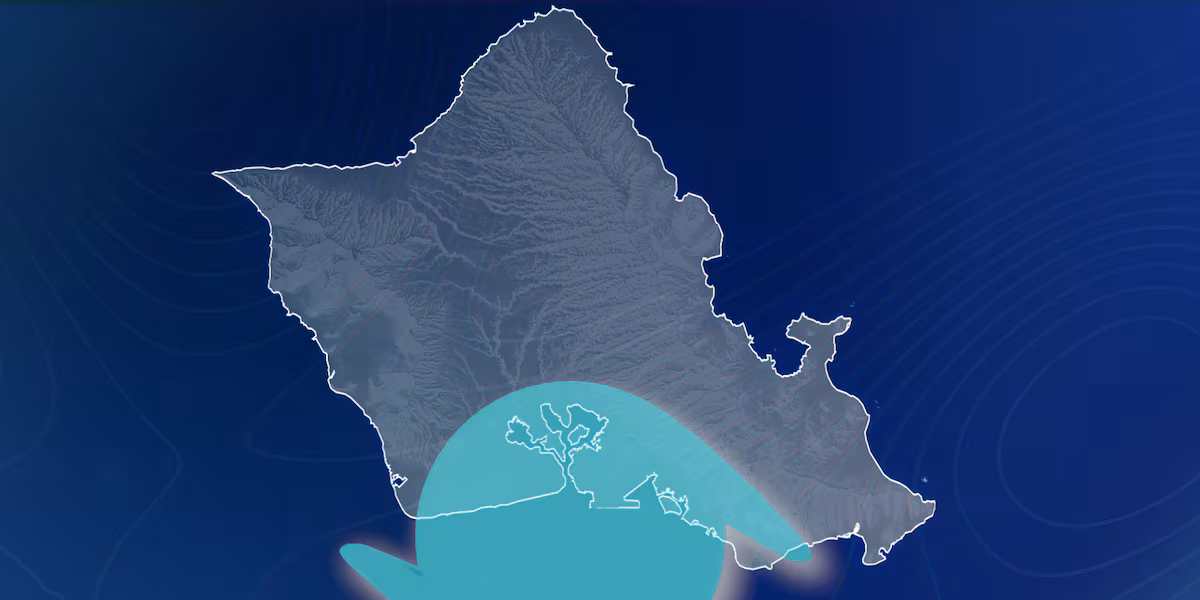
In this thought experiment, a category 4 hurricane approaches Oahu from the south and the eye of the storm is set to pass over Pearl Harbor.
MORE: First Alert Hurricane Season 2026: Lessons from the Kona lows
During an average hurricane season, a landfall like this is rare due to the following:
Yet, in our scenario, the ideal conditions align.
The hypothetical storm, like Hurricane Iniki, would approach Oahu from the south, pushing the most impactful part of the storm directly over densely populated Honolulu.
The anatomy of a hurricane can be broken down into four sections, with the most dangerous being labeled the front right quadrant.
The forward motion and wind speed of the rotating storm add together in this quadrant. This often results in the highest recorded wind speeds, especially within the eye wall.
Read more City parks camping permit, custodial fees increase July 1
The front right quadrant creates the:
In our scenario, the front right quadrant of our storm aligns almost perfectly with Oahu’s south-facing shoreline. The eye wall would pass directly over Honolulu.
A Category 4 hurricane creates sustained winds of at least 130 miles per hour, causing catastrophic damage.
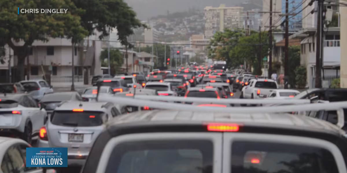
Dangerous south winds would funnel through the urban center. The unique terrain on Oahu could also result in higher wind speeds, accelerating gusts in the valleys and for areas just downwind of each slope.
This scenario would also lead to storm surge, with the ocean physically pushed ashore by the strong south winds, and into Oahu’s tourist center. Waikiki, which is already known to flood easily, would face severe damage.
While there is currently no storm approaching Hawaii as of the writing of this article, the atmospheric ingredients for one could align.
Living prepared in Hawaii is a necessity. The state runs the risk of experiencing hurricanes, flooding from winter storms, and tsunamis.
Knowing your evacuation zone, having an emergency kit, and remaining weather informed are all ways to keep yourselves prepared against the worst-case scenario.
Read more First Alert Forecast: Tracking humid weather and south swells


Post Comment