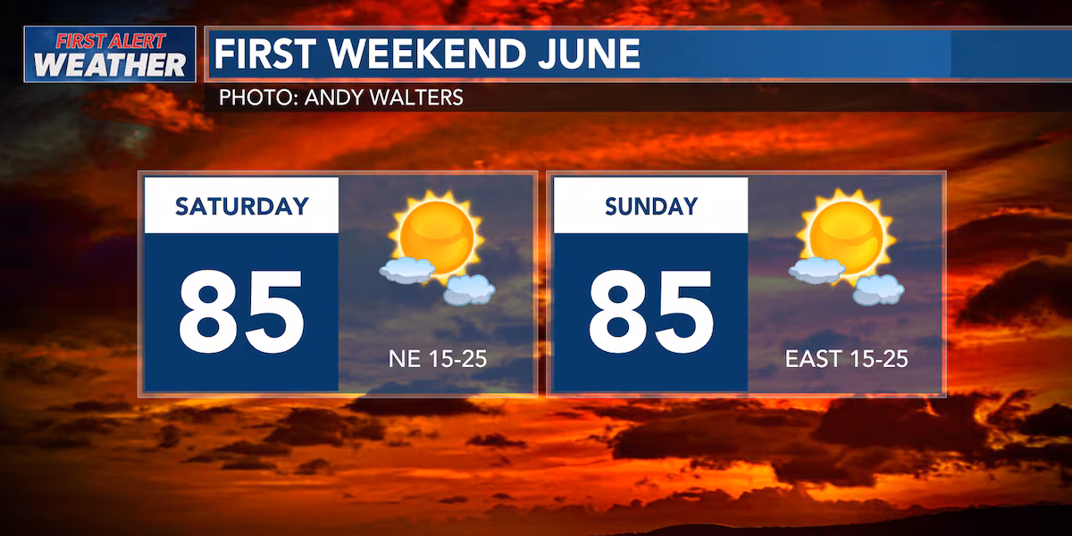
First Alert Forecast: Tracking gusty trades this weekend and a series of swells; rough seas
HONOLULU (HawaiiNewsNow) – If you’re making plans for the weekend, Hawaii’s weather looks pretty cooperative. The trade winds will stay breezy, helping to keep temperatures comfortable while bringing occasional showers to windward and mauka areas. Most of these showers will be brief and are most likely during the nighttime and early morning hours.
Read more State declares traffic emergency zone on Daniel K. Inouye Hwy. after fatal crashes
For leeward communities and beaches, expect plenty of dry periods and sunshine. While a few showers may occasionally blow over from the windward side, they shouldn’t have much impact on outdoor activities. Overall, it’s shaping up to be a classic summer trade-wind weekend.
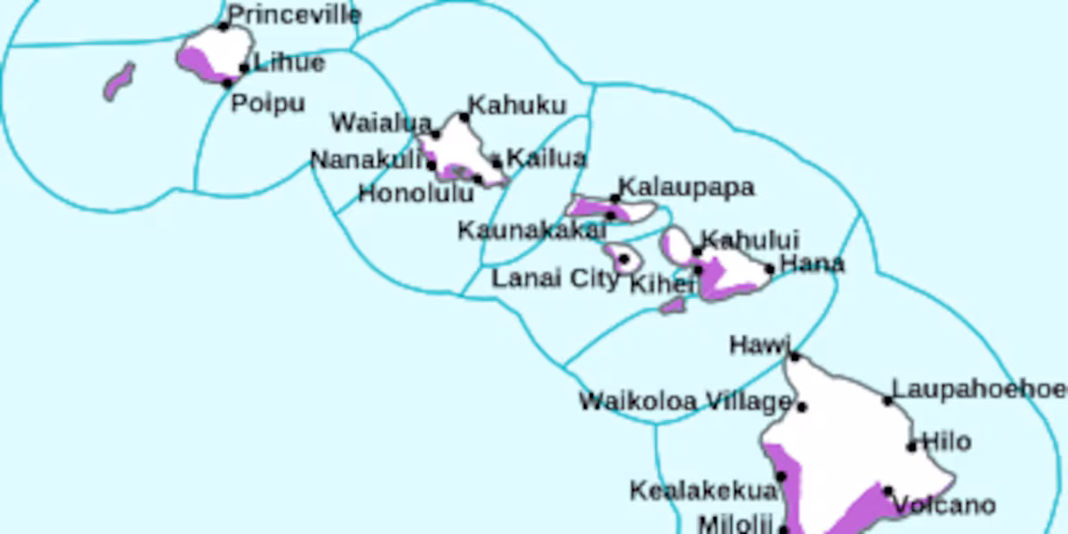
Boaters and ocean users should be aware that the strong trades are creating rougher marine conditions. A Small Craft Advisory remains in effect statewide through early Sunday, and east-facing shores will be choppy.
If you’re heading to the beach, south shore surf will gradually ease through Saturday before a new south swell arrives late Sunday and builds into Monday.
Read more Deadly crash shuts down Moanalua Rd. east near freeway onramp
Looking ahead, not much is expected to change through early next week. Breezy trades will continue, with showers favoring windward and mountain areas while leeward locations enjoy generally drier weather. Overall, it’s a great weekend for outdoor plans, especially on the sunnier leeward sides of the islands.
View the latest weather conditions here.
Download the HNN Weather app from the Apple App Store or Google Play for the latest updates from your First Alert Weather Team: chief meteorologist Jennifer Robbins, meteorologist Drew Davis, and weather anchors Guy Hagi, Ben Gutierrez, and Billy V.
Read more Joshua Walker named UH women’s volleyball head coach


Post Comment