First Alert Forecast: Trades continue to kick up
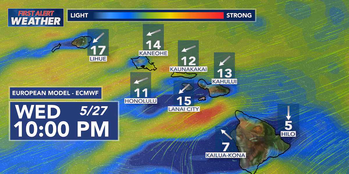
HONOLULU (HawaiiNewsNow) – Breezy trade winds will gradually ease to more moderate levels late this week and through the weekend, but they’ll still be strong enough to keep that classic windward and mauka shower pattern in place into next week.
Read more Accused monk seal harasser stays silent after federal court appearance
A slight bump in moisture Thursday into Friday could lead to a few thicker clouds and an increase in showers for windward communities, especially overnight and during the early morning hours. Some of the wetter windward spots could pick up around a half inch to an inch of rainfall through Friday.
By the weekend, conditions trend a little drier with fewer clouds and more sunshine statewide as the weak disturbance moves away from the islands. Trades remain lighter, but should still help keep humidity manageable through the afternoons.
For end-of-school celebrations, graduations, beach days, and outdoor plans, the forecast overall looks cooperative. Expect the best weather along leeward communities with passing showers mainly sticking to windward and mauka areas, especially overnight and early mornings.
Read more ‘Really inspiring’: Rainbow Wahine to compete in NCAA Track and Field Championships
Breezy conditions may still impact tents, decorations, and outdoor ceremonies at times, particularly Thursday and Friday before winds ease some over the weekend.
Looking ahead into early June, Hawaii stays locked into a fairly typical dry-season pattern with lighter trades, overnight windward showers, and plenty of sunshine for most leeward areas.
View the latest weather conditions here.
Download the HNN Weather app from the Apple App Store or Google Play for the latest updates from your First Alert Weather Team: chief meteorologist Jennifer Robbins, meteorologist Drew Davis, and weather anchors Guy Hagi, Ben Gutierrez, and Billy V.
Read more The Rally Point: The importance of mental health care for combat soldiers


Post Comment