First Alert Forecast: Trades begin to slow down a bit
HONOLULU (HawaiiNewsNow) – Our breezy trade winds are taking a little summer break, easing to moderate levels today and Wednesday before cranking back up Thursday and carrying us into the weekend.
Read more Crackdown on illegal game rooms includes arrests, millions in fines and liens
Expect passing trade wind showers to be a little more active through Wednesday, especially along our windward and mauka communities. Kauaʻi and Oʻahu will see the greatest shower coverage today, while clouds and showers gradually spread to Maui County and the Big Island later this afternoon and evening. Some brief showers may drift into leeward neighborhoods, but sunshine will still make plenty of appearances between the clouds.
By Thursday, drier air settles back into the islands, bringing fewer showers and more classic summertime trade wind weather through the weekend. It looks like another beautiful stretch for getting outside, especially if you’re heading to the beach, hiking, or enjoying one of the many community events happening across the islands.
If you’re planning to check out weekend farmers markets, local festivals, outdoor concerts, paddling races, or spend time at the beach with ʻohana, you’ll find the weather cooperating. Just keep in mind that the trade winds will become a bit breezier again, so secure tents and beach umbrellas, and expect the usual passing windward showers while leeward locations stay mostly dry.
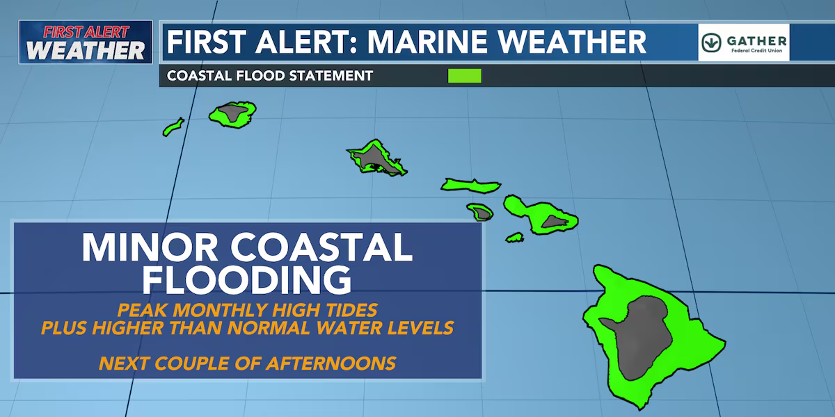
For boaters, the Small Craft Advisory has been dropped as winds have eased below advisory levels. East shore surf will continue to slowly come down through Wednesday before leveling off below seasonal averages, while small south and southwest swells keep rideable waves coming to south-facing shores. North shores remain quiet with only tiny surf. Also, be aware that afternoon high tides may lead to minor coastal flooding in the usual low-lying shoreline areas.
Read more Hawaii man hits massive jackpot at the Fremont Hotel in Las Vegas
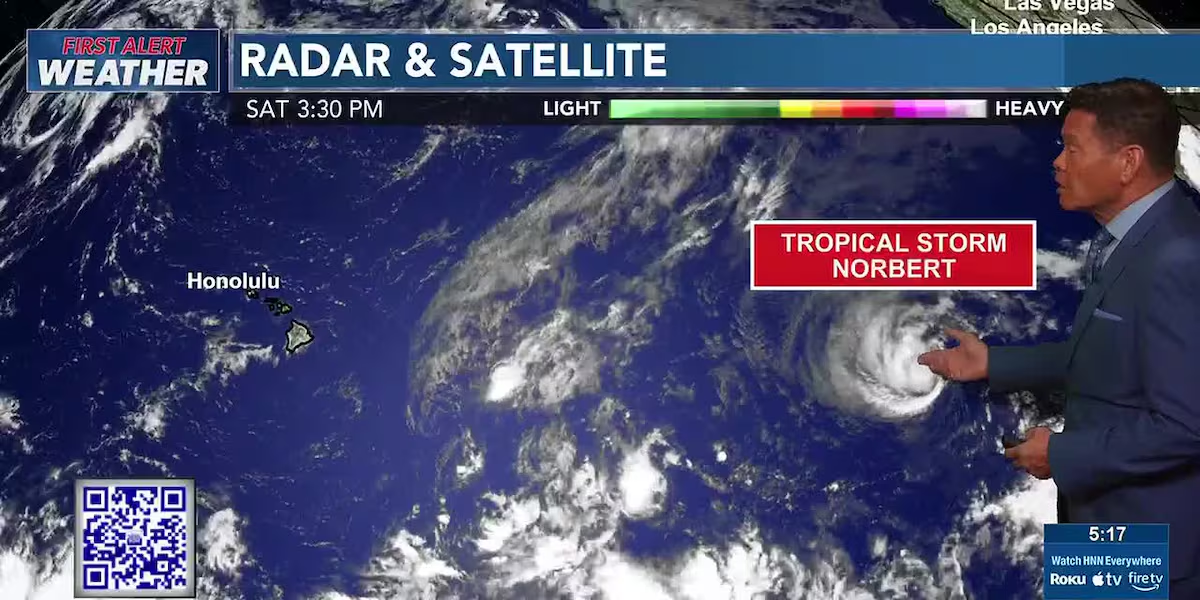
Looking ahead, long-range forecast models continue to hint at more tropical activity developing across the eastern and central Pacific over the next couple of weeks. We have tropical depression Five-E that will be meandering over open waters and become a hurricane before it weakens. No major threat.
Right now, no systems are expected to impact Hawaiʻi, but with El Niño continuing to strengthen, this is a great reminder to review your hurricane preparedness plans before the peak of the season arrives.
Enjoy the cooler trade winds, embrace the island showers where they fall, and have a safe, fun-filled weekend wherever your aloha spirit takes you.
View the latest weather conditions here.
Download the HNN Weather app from the Apple App Store or Google Play for the latest updates from your First Alert Weather Team: chief meteorologist Jennifer Robbins, meteorologist Drew Davis, and weather anchors Guy Hagi, Ben Gutierrez, and Billy V.
Read more Gov. Green signs bills to support kupuna, set AI guardrails




Post Comment