First Alert Forecast: Trade winds returning after Fausto’s passage
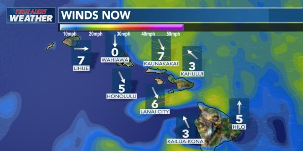
HONOLULU (HawaiiNewsNow) – Trade winds are set to return to the islands as the remnants of former tropical cyclone Fausto depart to the west-northwest.
Read more Chinatown building fire causes $125K in damage, classified as accidental
It will still feel a little muggy as Fausto’s tropical moisture still ingers over the state but we are expecting it to be more comfortable as the day goes along.
Drier conditions are also anticipated after some straggling bands of Fausto’s showers clear the area.
A First Alert going into the weekend, as strong high pressure will generate trades that could trigger wind advisories for the usual windier downslope areas of Maui County and Hawaii Island.
Read more Shark Week in Hawaii: Predators play vital role in local ocean health, culture
View the latest weather conditions here.
Surf on east-facing shores continues to decline after Fausto’s passage, but should trend upward again with the strong trades and a swell from Hurricane Genevieve far to the east of the state.
North shore waves are also heading back down, while south shores will have another building swell that could bring some chest- to head-high sets. Some of that energy could wrap to west shores.
Download the HNN Weather app from the Apple App Store or Google Play for the latest updates from your First Alert Weather Team: chief meteorologist Jennifer Robbins, meteorologist Drew Davis, and weather anchors Guy Hagi, Ben Gutierrez, and Billy V.
Read more Maui youth program receives 200 soccer balls from FIFA World Cup donation





Post Comment