First Alert Forecast: Bye Moke, hello to more comfortable trade wind weather
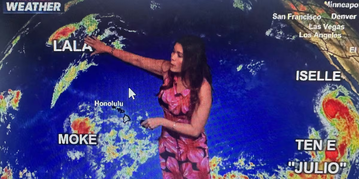
HONOLULU (HawaiiNewsNow) – Moke is officially done as a tropical cyclone. The National Hurricane Center issued its final advisory at 11 PM Monday, saying Moke has weakened into a remnant low and no longer poses any threat to land.
Read more Famous Hawaii Island bakery vows to reopen after Hurricane Lala
The remnants are about 360 miles east of Johnston Island, moving west at around 14 mph, with maximum winds near 35 mph.
There are no watches or warnings, and most importantly, there are no hazards affecting land.
For Hawaii, this means the Moke chapter is essentially over. The moisture and minimal rain that affected the Big Island have moved out, the Flood Watch has been canceled, and we’re transitioning back to our more typical trade wind pattern. And guess what? Less humidity!
The big weather change now is drying and stabilization. Feeling much more comfortable.
Tuesday should be fairly dry with breezy trades, and by Wednesday, drier air and lower dewpoints arrive, taking the edge off the humidity.
Read more Nearly 5K without power on Hawaii Island, HECO says Moke could delay remaining repairs
Expect typical summer trade wind weather to dominate through much of the week, with showers mainly focused on windward and mauka areas.
Meanwhile, Moke’s remnants will continue westward away from the islands, with the National Hurricane Center issuing no further public advisories.
We are keeping an eye on the tropics, but the storms that are developing do not seem to be a threat at least within the next 10 day outlook. A nice and much needed break!
View the latest weather conditions here.
Download the HNN Weather app from the Apple App Store or Google Play for the latest updates from your First Alert Weather Team: chief meteorologist Jennifer Robbins and weather anchors Guy Hagi, Dan Cooke, Ben Gutierrez, and Billy V.
Read more Family of Southwest flight attendant found dead in Waikiki pushes for answers






Post Comment