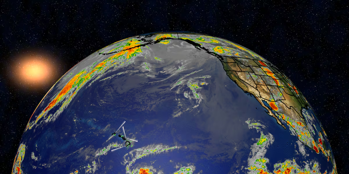
First Alert Forecast: Gusty trade winds continue into the weekend
HONOLULU (HawaiiNewsNow) – Happy Aloha Friday!
Breezy trade winds will continue across the islands through the weekend and into early next week, bringing a familiar summertime weather pattern.
Read more Hawaii green card holder accused of using cryptocurrency to skirt Iran sanctions
Passing showers will primarily favor windward and mauka communities, especially during the overnight and early morning hours.
An increase in tropical moisture will arrive this weekend, with the greatest chance for enhanced showers from Saturday night into Sunday morning. While most of the rain will remain on windward sides, a few showers could drift into leeward areas at times.
Another plume of moisture may move into the islands by the middle of next week, but otherwise typical trade wind weather is expected.
Read more Wildfire prompts evacuations in Waikoloa Village
If you’re making outdoor plans this weekend, the forecast remains favorable for many events across the state. Breezy conditions and passing windward showers shouldn’t put much of a damper on activities like the International ʻUkulele Festival at Kapiʻolani Park on Sunday, Bon Dance celebrations taking place statewide, or visits to local farmers markets.
Just be prepared for a brief passing shower if you’re on the windward side, and keep in mind that rough surf along east-facing shores, strong trade winds, and higher-than-normal King Tides beginning Sunday could create hazardous conditions along some coastlines.
View the latest weather conditions here.
Download the HNN Weather app from the Apple App Store or Google Play for the latest updates from your First Alert Weather Team: chief meteorologist Jennifer Robbins, meteorologist Drew Davis, and weather anchors Guy Hagi, Ben Gutierrez, and Billy V.
Read more 49th Na Hoku Hanohano Awards celebrate Hawaii’s top musicians




Post Comment