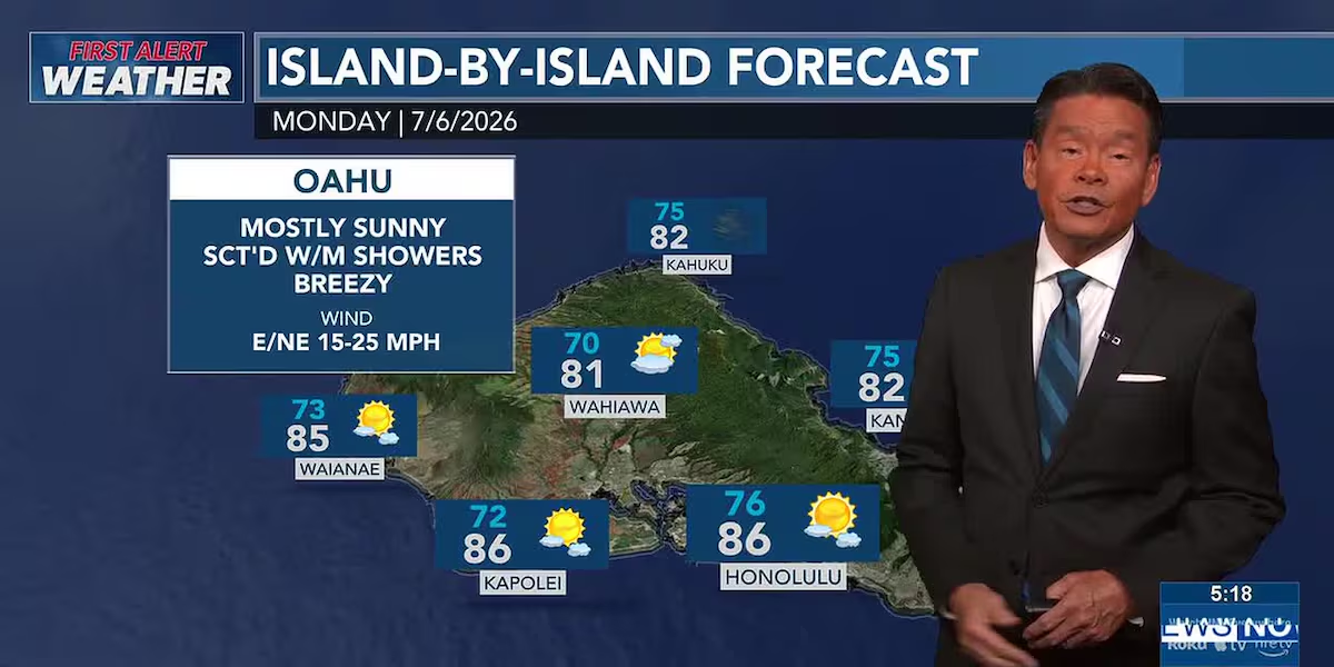
First Alert Forecast: Breezy trade winds, with a few more showers near week’s end
HONOLULU (HawaiiNewsNow) – Trade winds will prevail through the week with limited windward and mauka showers. There will be a brief increase in showers Tuesday.
Read more HPD, EMS give update on fireworks-related calls during 4th of July
There’s a First Alert for another increase in showers near the end of the week what’s left of former tropical storm Douglas moves in from the east. This tropical moisture will also boost dew points near 70 degrees, so it may feel muggy, especially Friday and Saturday.
View the latest weather conditions here.
In surf, a south swell will hold Monday with waves just under the 10-foot high surf advisory threshold. West shores will see some of that swell energy. East shores will have rough and choppy waves from the trade wind swell, while north shores will be mostly flat.
On Oahu, a First Alert is up for the monthly box jellyfish influx, mainly for south shores. The influx begins Monday with a low probability of jellyfish, with the highest probability Tuesday, Wednesday and Thursday. Look for warning signs and check with lifeguards before going in the weater.
Read more UH Cancer Clinical Research Center to hold official opening
For mariners, a small craft advisory is in effect for all Hawaiian coastal waters through 6 p.m. Monday for strong winds.
Download the HNN Weather app from the Apple App Store or Google Play for the latest updates from your First Alert Weather Team: chief meteorologist Jennifer Robbins, meteorologist Drew Davis, and weather anchors Guy Hagi, Ben Gutierrez, and Billy V.
Read more Kaimuki cafe partners with nonprofit to promote sustainability








Post Comment