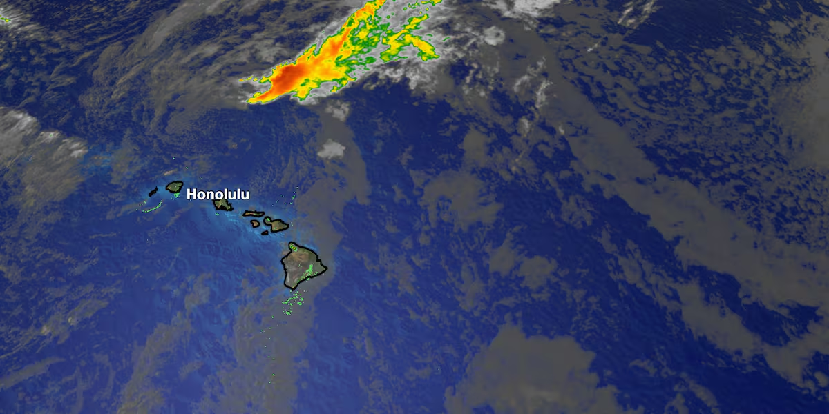
First Alert Forecast: Hold on! Gusty trades coming our way
HONOLULU (HawaiiNewsNow) – Fausto is no longer a threat to Hawaii, with its remnant low continuing to move well northwest of the islands.
Read more Kauai mayoral candidates talk housing, infrastructure, cost of living
As it departs, our weather is transitioning back to a more typical summer trade wind pattern.
Trade winds will strengthen through today, becoming breezy by this afternoon and evening. Winds will increase even more Friday into Saturday as strong high pressure builds north of the state.
Some areas could experience very strong downslope winds, especially late Friday through Saturday, and a Wind Advisory may be needed if confidence continues to increase.
Along with the stronger winds, a drier and more stable air mass will move into the islands.
Read more Woman dies after being hit by vehicle in Iwilei parking lot
That means fewer showers, lower humidity, and an elevated fire weather risk, particularly in leeward areas where vegetation has dried out.
Most showers will be confined to windward and mountain areas, while leeward communities can expect mostly dry conditions.
In the surf, south shore waves will peak today near seasonal averages before gradually declining through the weekend. East shore surf will build tonight into the weekend as strengthening trade winds combine with a new east swell generated by Hurricane Genevieve. North shore surf will remain small.Our First Alert Weather Team will continue monitoring the potential for strong winds and any Wind Advisory that may be issued for portions of the state.
View the latest weather conditions here.
Download the HNN Weather app from the Apple App Store or Google Play for the latest updates from your First Alert Weather Team: chief meteorologist Jennifer Robbins, meteorologist Drew Davis, and weather anchors Guy Hagi, Ben Gutierrez, and Billy V.
Read more ‘Slow down’: City lowering speed limits to 20 mph in school zones across Oahu





Post Comment