First Alert Forecast: Gusty trades start the work week
HONOLULU (HawaiiNewsNow) – Moderate to locally windy trades will blow over the islands for the next several days. Showers will generally be on the light side and focus mainly on windward and mauka areas, but some showers may be pushed leeward by the strong trades through midweek.
Read more DARAT at East-West Center honors 120 years of sakadas in Hawaii with dance, music, fashion
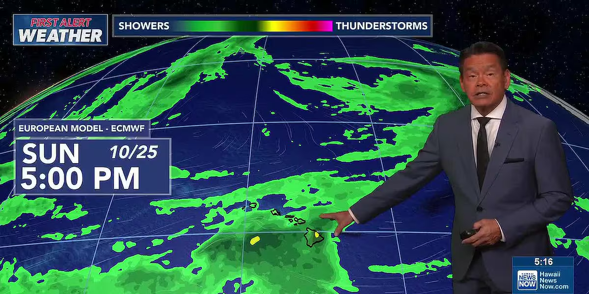
There’s a First Alert for lighter winds and a possible weak front that could impact our weather starting Thursday into the weekend. The gusty trades may ease up and come from the southeast as a low pressure area drops in from the northwest. If the low moves far enough south, it could push a front through the state Sunday into Monday. Still too early to tell for sure, but we’ll keep you posted.
View the latest weather conditions here.
In surf, a north-northwest swell and a small overlapping swell from the west-northwest are both on the way down. Surf on south shores will decline below average Monday and remain small through most of the week. Rough surf generated by the trade winds will continue through midweek for east shores, then decline as the trades ease later in the week.
Read more Rainbow Wahine soccer extend winning streak on the road
Download the HNN Weather app from the Apple App Store or Google Play for the latest updates from your First Alert Weather Team: chief meteorologist Jennifer Robbins and weather anchors Guy Hagi, Dan Cooke, Ben Gutierrez, and Billy V.
Read more Princess Kaiulani gown debut at Iolani Palace completes 10-year project







Post Comment