First Alert Forecast: Trades continue and keeping an eye on the tropics
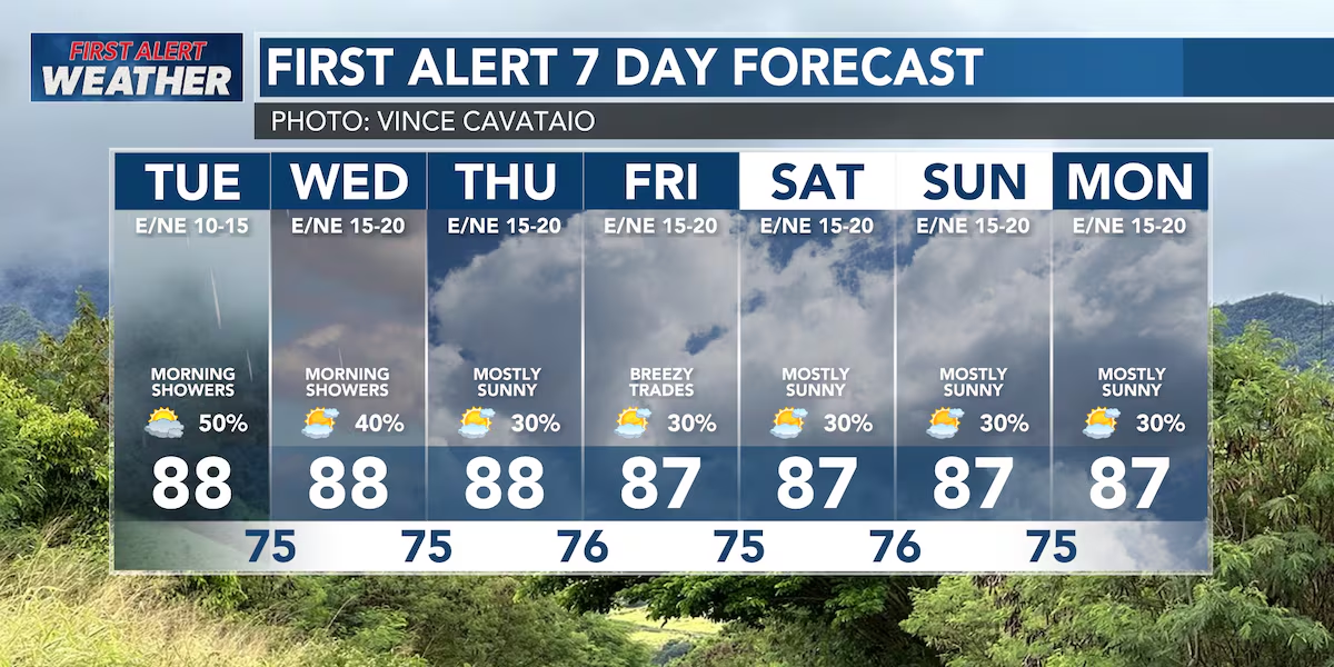
HONOLULU (HawaiiNewsNow) – Happy Monday! Expect another typical summer day across the islands, with moderate trade winds and a few passing showers favoring our windward and mauka communities this morning. As we head into the afternoon, sunshine will take over for most areas, making for another warm and mostly dry day.
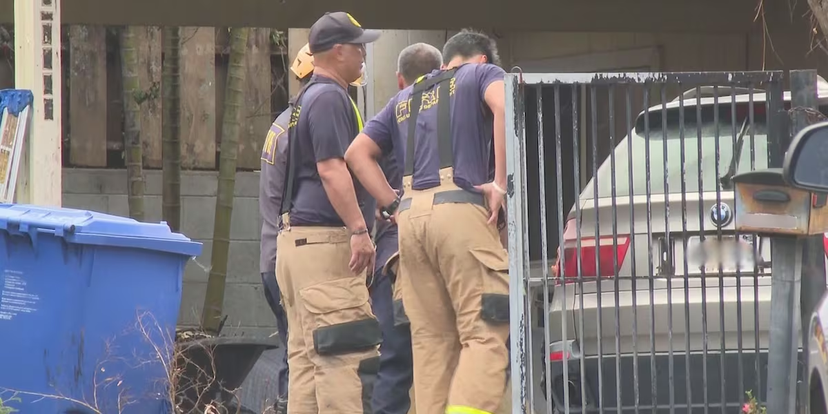
Read more Crews extinguish flaming vehicle in Makakilo driveway
Tonight, into early Wednesday, another pocket of moisture moves in, bringing a better chance for overnight and early morning showers statewide.
One area we’ll be watching closely is Leeward Oahu, where winds interacting with Maui County could help spark a few extra showers before sunrise Wednesday. It’s a small-scale setup, so we’ll be monitoring radar and observations to see if it develops. Looking ahead, expect a slight uptick in shower activity through Wednesday before drier air arrives later in the week.
Trade winds will also strengthen again by Wednesday through Friday, bringing breezier conditions and helping return showers to their usual windward and mauka pattern.
Surf Update: A long-period south swell continues to produce elevated surf along south-facing shores through Tuesday, with another south swell arriving Thursday that will keep surf above the summertime average into the weekend. East shore surf will gradually increase later this week as stronger trades return, with a small boost possible from the leftover swell generated by former Tropical Storm Elida.
Read more Trash at East Oahu beach highlights community’s homeless problem
North shores will remain nearly flat.
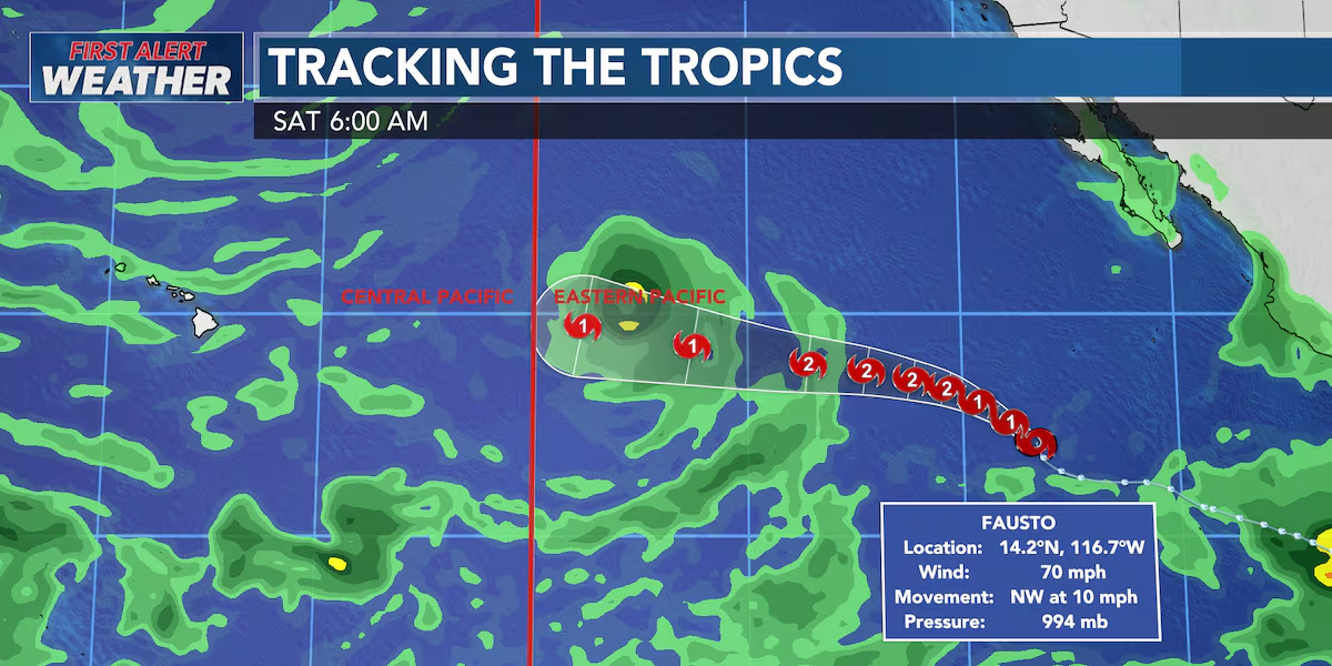
Tropical Update – Fausto: Tropical Storm Fausto is strengthening well to the southwest of Mexico and is expected to become a hurricane later today. The forecast keeps Fausto moving northwest before turning more westward over the open eastern Pacific.
There is no threat to Hawaii.
If Fausto survives long enough to reach the Central Pacific next week, it is expected to be much weaker. We’ll continue to monitor its progress, but for now it’s simply another storm to watch from a distance while Hawaii enjoys a fairly typical summer weather pattern.
View the latest weather conditions here.
Download the HNN Weather app from the Apple App Store or Google Play for the latest updates from your First Alert Weather Team: chief meteorologist Jennifer Robbins, meteorologist Drew Davis, and weather anchors Guy Hagi, Ben Gutierrez, and Billy V.
Read more Phased closure of Waianae homeless village moves forward as residents relocate





Post Comment