First Alert Forecast: Trade wind weather for most of the week
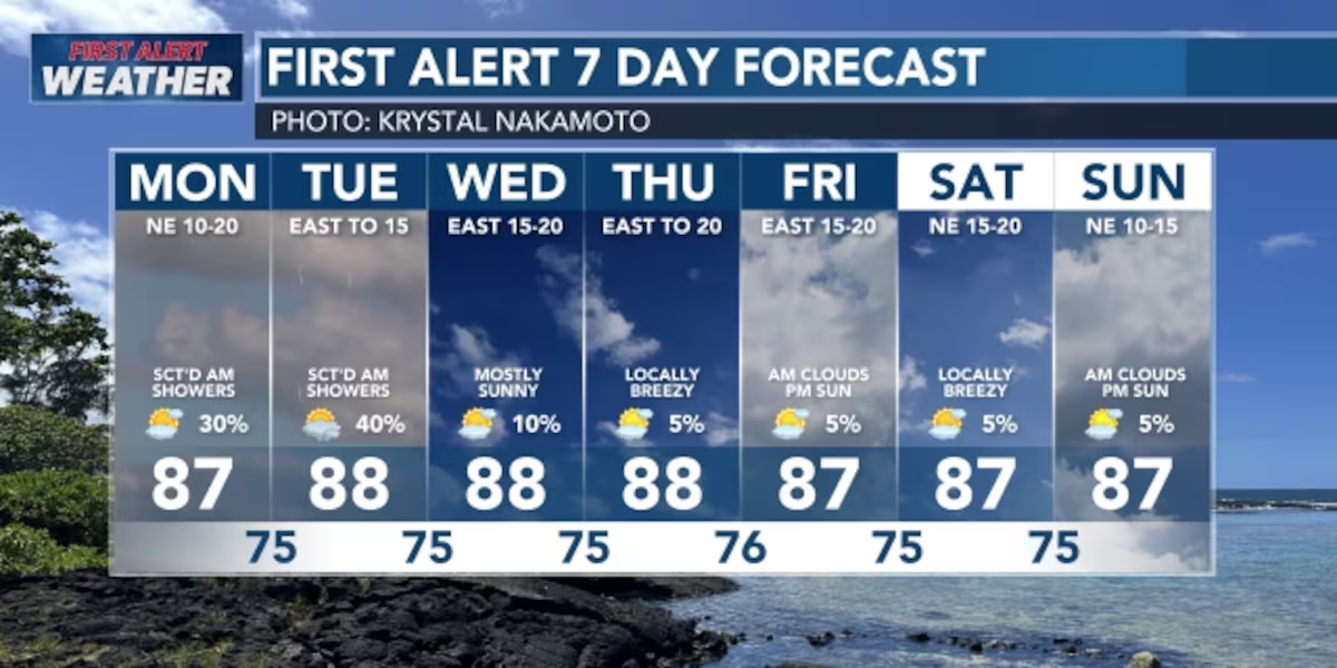
HONOLULU (HawaiiNewsNow) – This weekʻs forecast will feature primarily steady trade winds because of high-pressure system sitting north of us. Because of this setup, the weather will be pretty dry and stable. On the windward side, you might see a few light showers, but the leeward side will stay mostly dry. Late in the week, the winds might calm down a bit, but then they’ll pick back up next weekend when that high-pressure system gets stronger. There are some tropical storms way out in the ocean to the east, but they’re too far away to affect us right now, but they might throw some moisture into the trade wind flow.
Read more Honua Finals unite young surfers, elevating future stars
View the latest weather conditions here.
High-pressure system is sitting north of Hawaii, controlling our weather this week. We’ll have steady breezy trade winds but not much rain. Tuesday and Wednesday might get a little more moisture in the air, which could bring a few more showers, but nothing major. Overall, expect only scattered, light showers on the windward and mauka sections, while the leeward sides will stay mostly dry.
Later in the week, things get a bit uncertain because there are some tropical disturbances far to the east of us. Weather models suggest they might move westward toward Hawaii, but it’s still too early to know for sure if they’ll actually affect the islands. Right now, we’re not expecting them to impact us, but we are keeping a close eye on them just in case.
Read more First Alert Forecast: Locally breezy trades, windward showers dominate the week
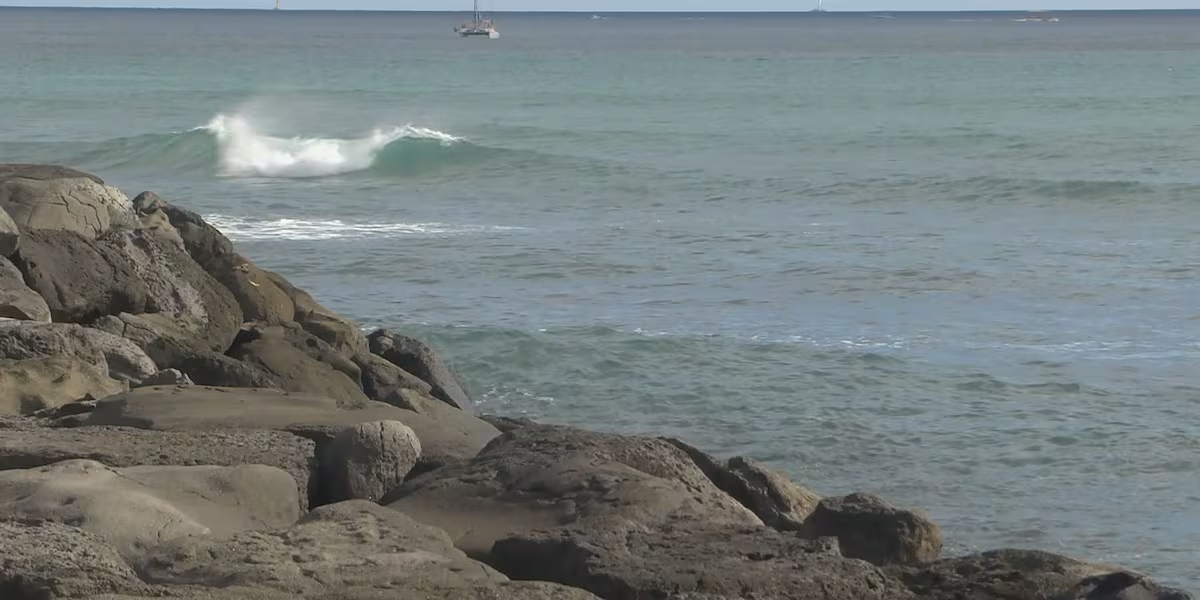
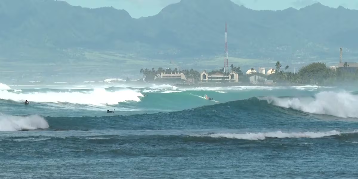
A big ocean swell is coming from the south and will start building tonight. It’ll peak Monday night and the waves will be strong enough that a High Surf Advisory will probably be issued. After Wednesday, this swell will slowly fade away, but a new long-period swell from the south will arrive Thursday and keep the waves up through next weekend. The north-facing beaches will stay pretty flat and have tiny waves all week long. The east-facing beaches will see waves drop a little bit Monday through Wednesday but by late in the week through next weekend, the waves should build back up to normal levels for this time of year. There’s also a tropical storm called Elida out in the ocean that might give the east shore an extra boost of waves in the middle of the week.
Download the HNN Weather app from the Apple App Store or Google Play for the latest updates from your First Alert Weather Team: chief meteorologist Jennifer Robbins, meteorologist Drew Davis, and weather anchors Guy Hagi, Ben Gutierrez, and Billy V.
Read more High school, transfer counselors experience UH Manoa







Post Comment