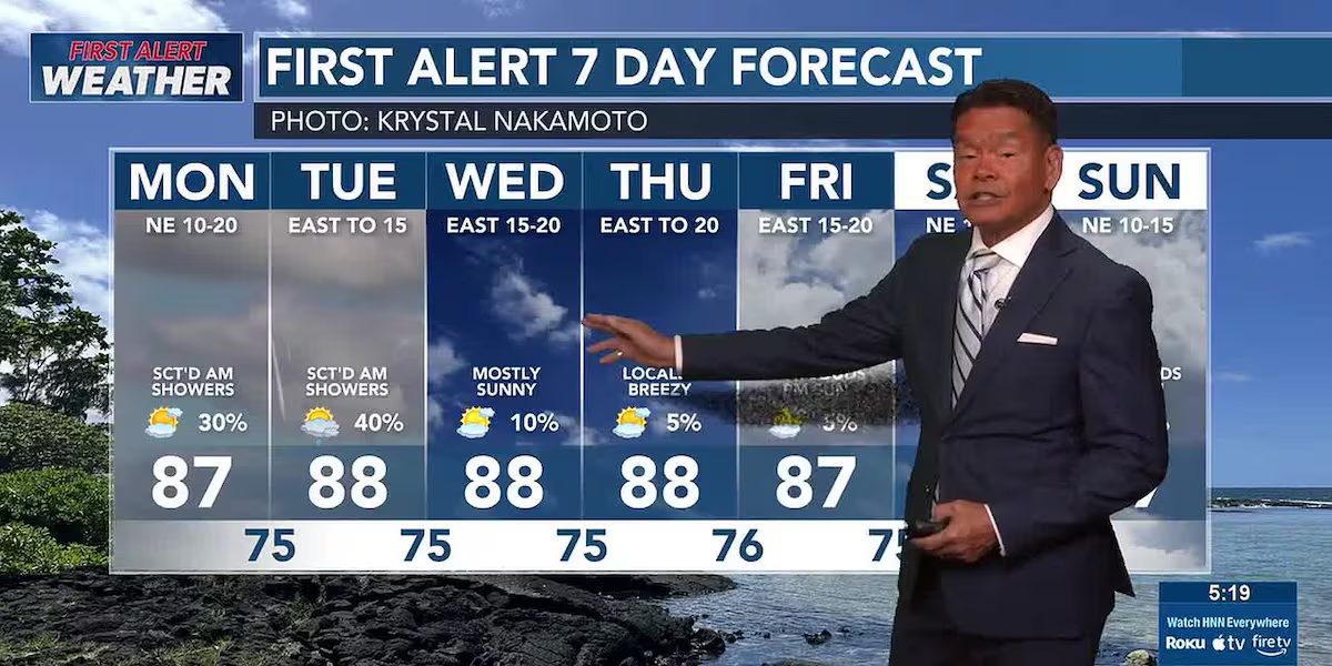
First Alert Forecast: Locally breezy trades, windward showers dominate the week
HONOLULU (HawaiiNewsNow) – Locally breezy trade winds and generally dry conditions will prevail in the coming week. We are, however, anticipating a few more showers for windward and mauka areas Tuesday into Wednesday, but rainfall totals will remain light.
Read more High school, transfer counselors experience UH Manoa
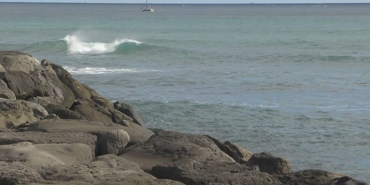
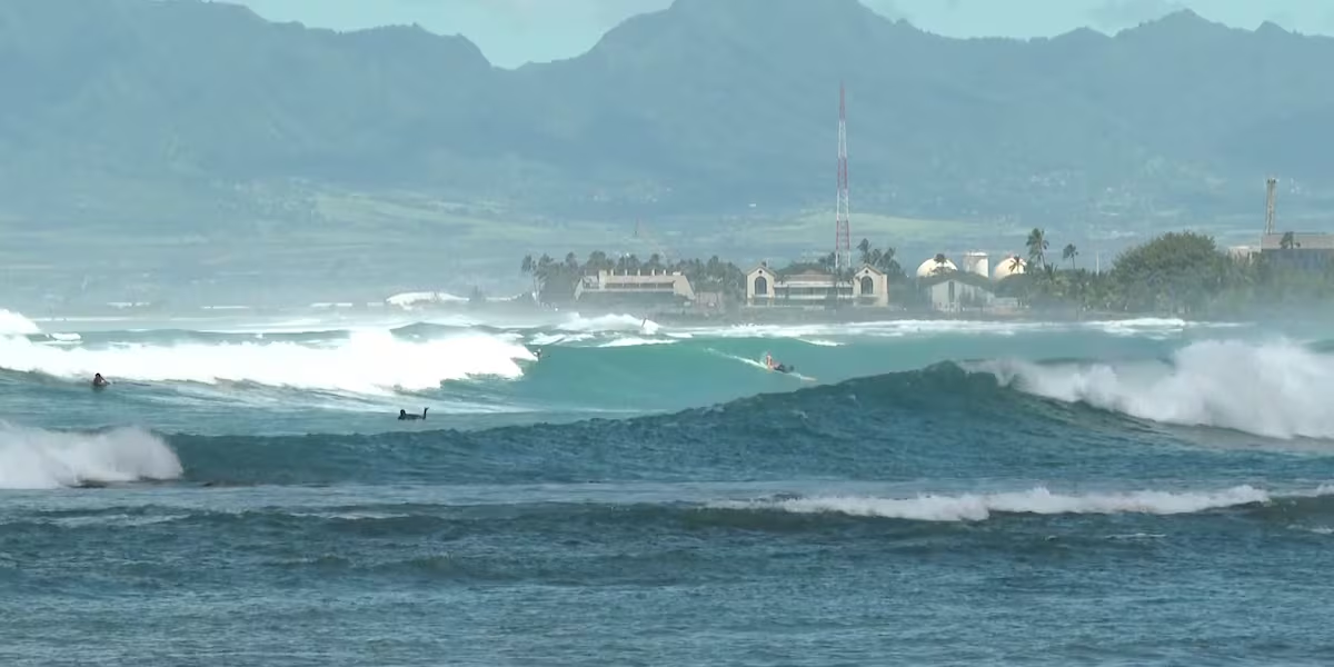
We have a First Alert in surf, where a new south swell will likely push waves along south-facing shores into high surf advisory territory (10+ feet) Monday. This swell will hold through Tuesday.
East shore waves will decline slightly for the start of the weak as the trade winds ease a bit. Waves could get a boost from Tropical Storm Elida, well to the east of the islands. Surf on north shores will remain pretty much flat.
View the latest weather conditions here.
We are starting to monitor more activity in the eastern North Pacific. Elida will pose no threat to Hawaii. We’re also tracking Tropical Storm Fausto, also well to the east of the state. The current forecast takes it on a track westward, but it’s way too early to say if there will be any impacts to the state.
Read more Airlines compete for Lanai air service contract
The increasing tropical cyclone activity is a reminder to be prepared this hurricane season. Visit the HNN Hurricane Center for an interactive tracking map, along with ways you can prepare to keep you and your ohana safe.
Download the HNN Weather app from the Apple App Store or Google Play for the latest updates from your First Alert Weather Team: chief meteorologist Jennifer Robbins, meteorologist Drew Davis, and weather anchors Guy Hagi, Ben Gutierrez, and Billy V.
Read more Hundreds gather for art therapy at UH Cancer Center







Post Comment