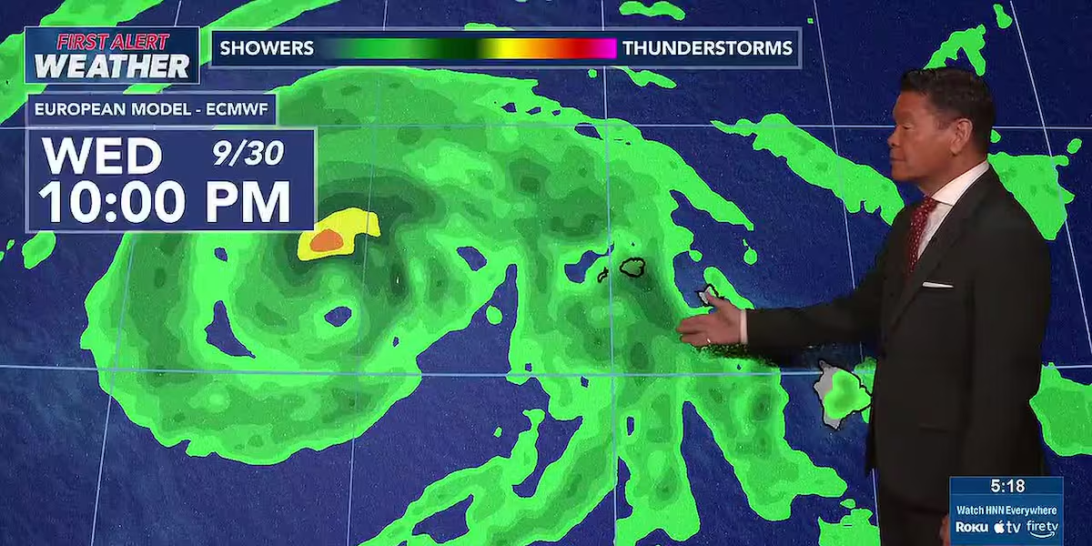
First Alert Forecast: Winds ease as Nolo moves away, more showers midweek
HONOLULU (HawaiiNewsNow) – Strong and gusty trade winds will ease Monday as Hurricane Nolo continues pulling away from the islands. Kauai will see a few more showers for windward areas, while the rest of the state will be on the dry side.
Read more 4 Lahaina campuses closed as most Maui, Hawaii Island schools reopen
A band of low-level moisture associated with Nolo is forecast to move over Kauai late Tuesday and Wednesday, but some of those showers could also fall over the rest of the state. Winds will also shift a bit from the southeast by midweek, allowing for possible afternoon clouds and isolated showers.
View the latest weather conditions here.
In surf, a rough short-period east swell associated with Nolo is heading downward, and a high surf advisory has been scaled back to east shores of Kauai and Oahu. Surf also south shores will remain elevated due to Nolo and an incoming south-southwest swell.
Read more Nolo intensifies into category 4 hurricane well south of main Hawaiian Islands
For mariners, the gale warning has been replaced with a small craft advisory for nearshore coastal waters due to strong winds and high seas.
Download the HNN Weather app from the Apple App Store or Google Play for the latest updates from your First Alert Weather Team: chief meteorologist Jennifer Robbins and weather anchors Guy Hagi, Dan Cooke, Ben Gutierrez, and Billy V.
Read more HIFF46 to showcase 30 Hawaii-made films, premieres of films ‘Navigator,’ ‘Drifter’







Post Comment