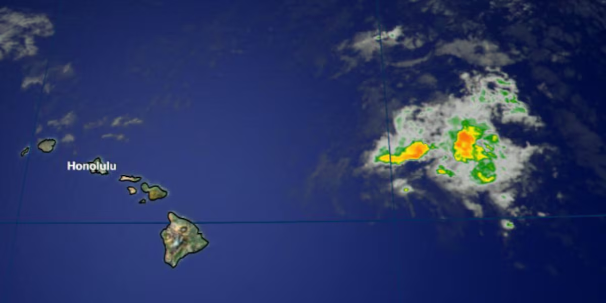
First Alert Forecast: Wet Weather on the Way
HONOLULU (HawaiiNewsNow) – The remnants of tropical cyclone Norbert are percolating just upstream in the trade wind flow and they are expected to start dampening our state sometime tonight. The wet weather will last into Friday. Windward and mauka neighborhoods are expected to get the lion’s share of the moisture, but leeward areas should be ready.
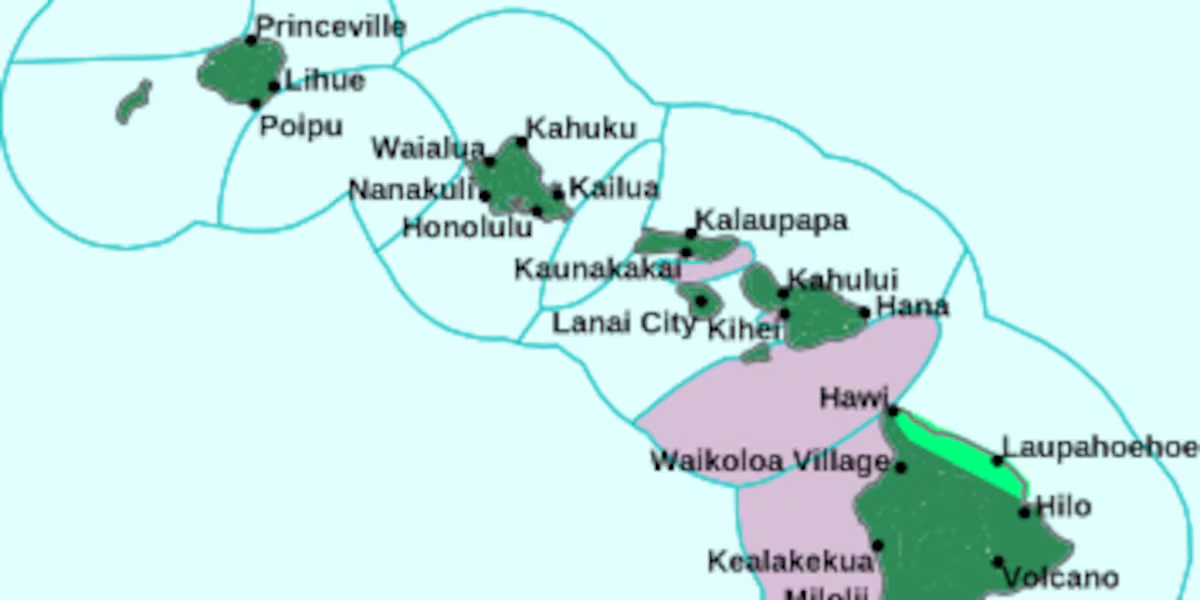
Read more First Alert Forecast: Flood Watch posted statewide, heavy rain possible through tonight
Due to the saturation of land across the state from numerous weather systems this summer, it won’t take much rain to create runoff. Please stay alert and take precautions should flooding occur in your neighborhood.
The trade winds will be breezy through the weekend and beyond. Drier weather is expected late Friday, Saturday and Sunday, just in time for the Aloha Festivals activities.
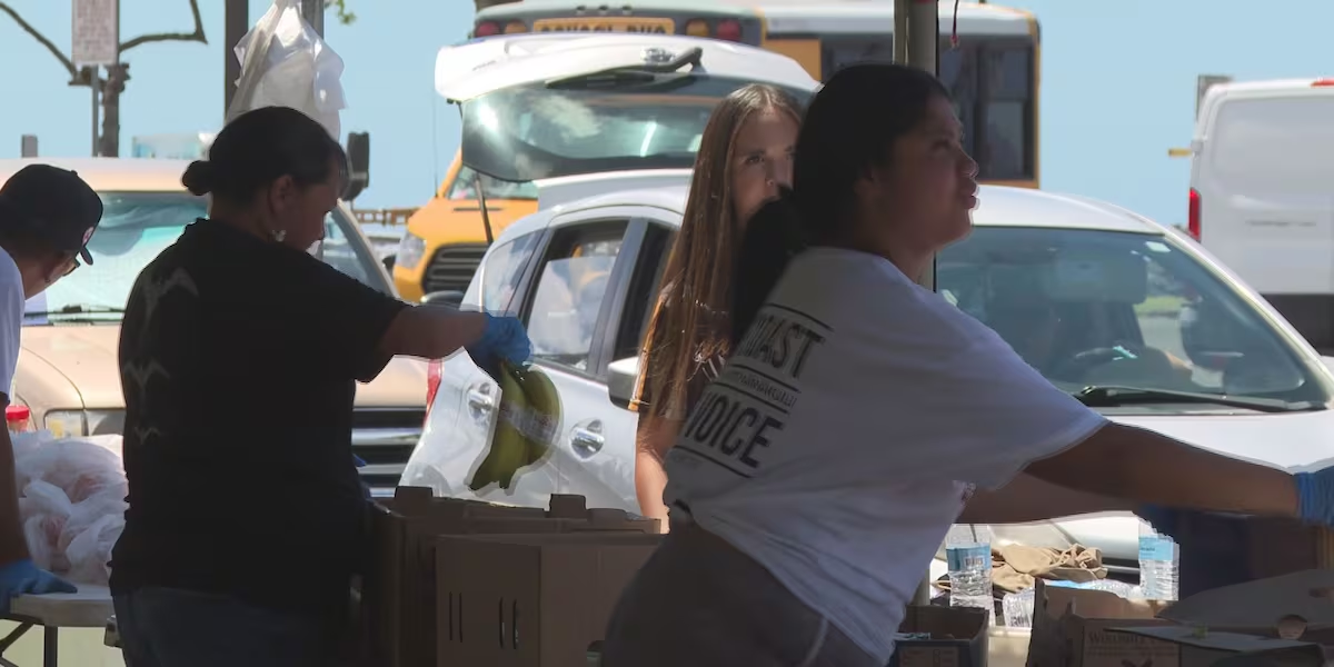
Read more Hundreds impacted by Lowell helped during Waianae food distribution event
Another batch of moisture is on the calendar for next week. The remnants of Tropical Depression 15-E show provide us with another wet episode Tuesday to Thursday. It’s too early to know for sure, but that rainfall may focus mostly on Maui County and Hawaii Island. Stay with us for forecast updates.
View the latest weather conditions here.
Download the HNN Weather app from the Apple App Store or Google Play for the latest updates from your First Alert Weather Team: chief meteorologist Jennifer Robbins and weather anchors Guy Hagi, Dan Cooke, Ben Gutierrez, and Billy V.
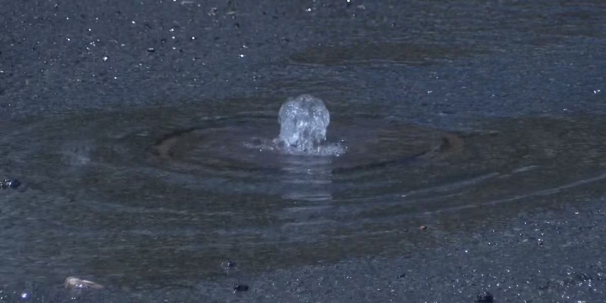
Read more Water main break prompts lane closures on Kamehameha Hwy. in Kalihi




Post Comment