First Alert Forecast: Pleasant Sunday, but rain is in the week ahead
HONOLULU (HawaiiNewsNow) – Stable conditions and moderate to breezy trade winds are expected through Monday. Winds will become lighter Tuesday, which could lead to afternoon clouds and showers for interior sections of the islands.
Read more First Alert Forecast: Trade winds back just in time for the weekend
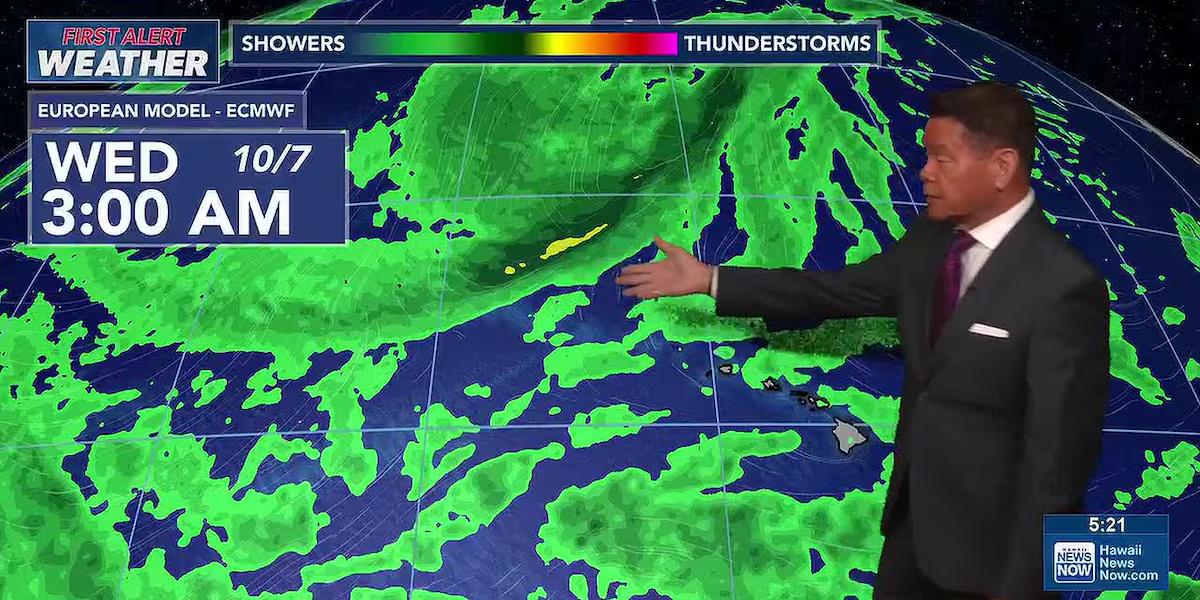
A First Alert for the latter part of the week as an early-season trough will settle to the northwest. This will pull deep tropical moisture northward with the result being more showers, especially for the western end of the state.
Forecast models are showing the potential for some heavier rain and flash flooding for Kauai and Oahu Wednesday night through Thursday. This threat could last a little longer for Kauai.
View the latest weather conditions here.
In surf, a small long-period swell is expected to arrive late Sunday, bringing a boost to south-facing shorelines. Already-small waves on north shores will also decline a bit. Surf along east shores will remain choppy with the trade wind swell.
Read more Former UH libero Kolby Kanetake returns to Manoa as Rainbow Wahine assistant coach
Sunday also marks the start of the monthly box jellyfish influx along south and some west-facing shores on Oahu. Check with the lifeguards and look for warning signs before heading into the water.
For mariners, a small craft advisory is posted for the usual windier coastal and channel waters around Maui County and Hawaii Island until 6 p.m. Sunday.
Download the HNN Weather app from the Apple App Store or Google Play for the latest updates from your First Alert Weather Team: chief meteorologist Jennifer Robbins and weather anchors Guy Hagi, Dan Cooke, Ben Gutierrez, and Billy V.







Post Comment