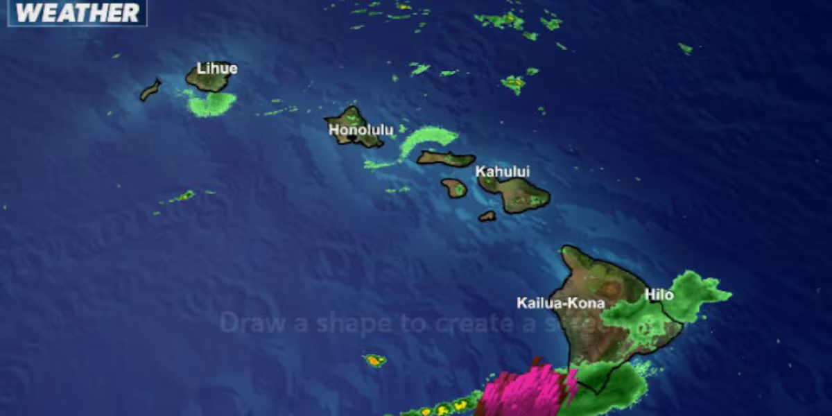
First Alert Forecast: Flood Advisories issued for Hawaii Island
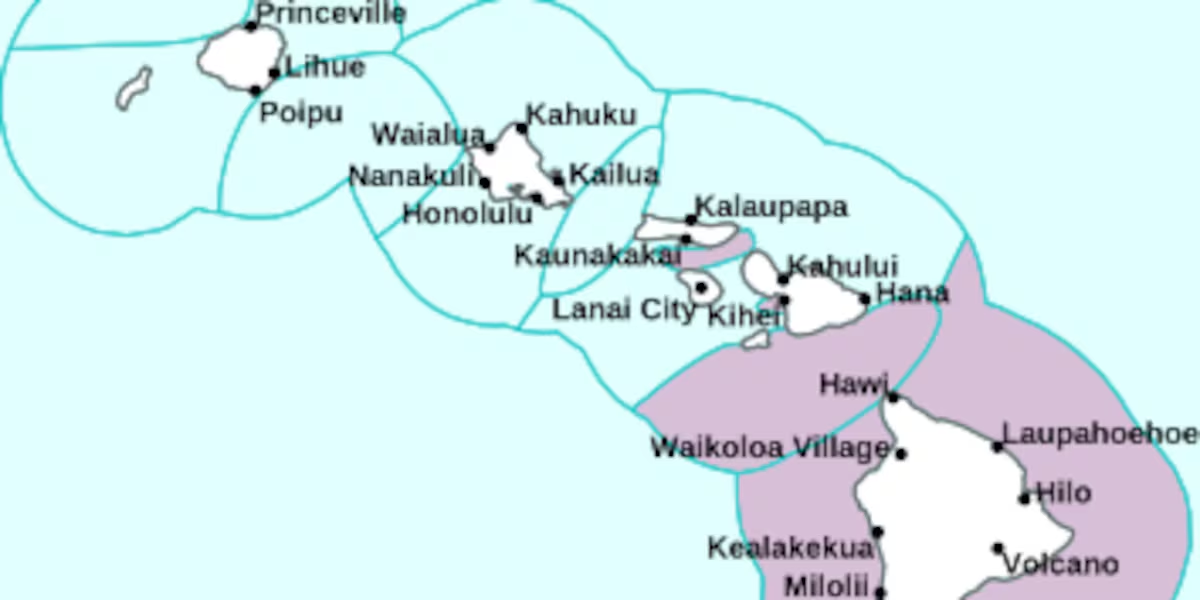
HONOLULU (HawaiiNewsNow) – A Flood Advisory is posted for parts of Hawaii Island until 11:15pm tonight. The National Weather Service says moderate to locally heavy rain was falling over the South Hilo, Puna, and Ka’u districts. The thunderstorms have weakened and stream gauges have plateaued, but minor flooding may still persist for the next several hours. Rain was falling at a rate of .5″ to 1″ per hour.
Read more Day one of the 20th annual Kapiolani Radiothon for Kids
Locations that will experience flooding include Hilo, Hawaiian Paradise Park, Volcano, Glenwood, Mountain View, Hawaii Volcanoes National Park, Keaau, Pahoa, and Wood Valley.
Earlier today it was the Hamakua Coast getting the worst of it. The Flood Advisory there expired at 12:30pm. The 24-hour rainfall total for Laupahoehoe was 6.23″ as of 7pm tonight. a Flood Advisory was in effect briefly this afternoon for North and South Kona.
There is a Flash Flood Watch for the entire state through late tonight.
As the remnant moisture from former tropical cyclone Norbert moves across the islands from east to west, spotty heavy showers will fall mainly on windward and mauka neighborhoods. Accumulations of 3-6″ are expected in some areas while some leeward gauges might get only a trace.
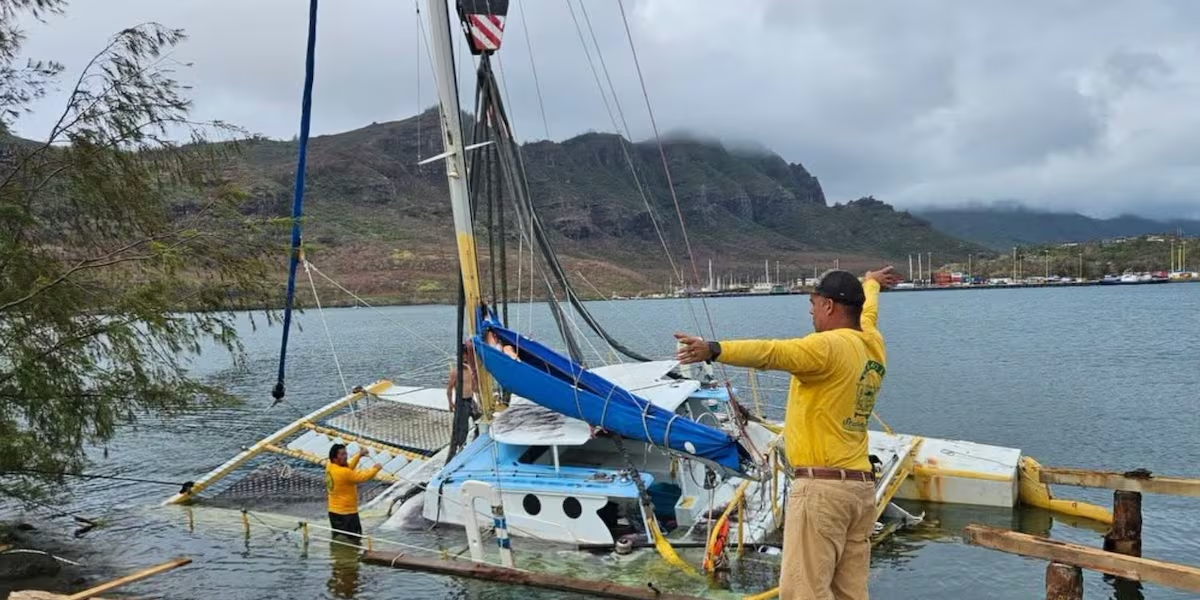
Read more Catamaran grounded during Lowell removed from Nawiliwili Harbor
Improvement is expected by Friday afternoon and copious amounts of sunshine are forecast for the weekend. Trade winds will be breezy through the middle of next week.
Surf is coming up along east, south, and west-facing shores. A new south swell may get waves close to advisory level by late Friday.
View the latest weather conditions here.
Download the HNN Weather app from the Apple App Store or Google Play for the latest updates from your First Alert Weather Team: chief meteorologist Jennifer Robbins and weather anchors Guy Hagi, Dan Cooke, Ben Gutierrez, and Billy V.





Post Comment