First Alert Forecast: Breezy trades thru Tuesday midday
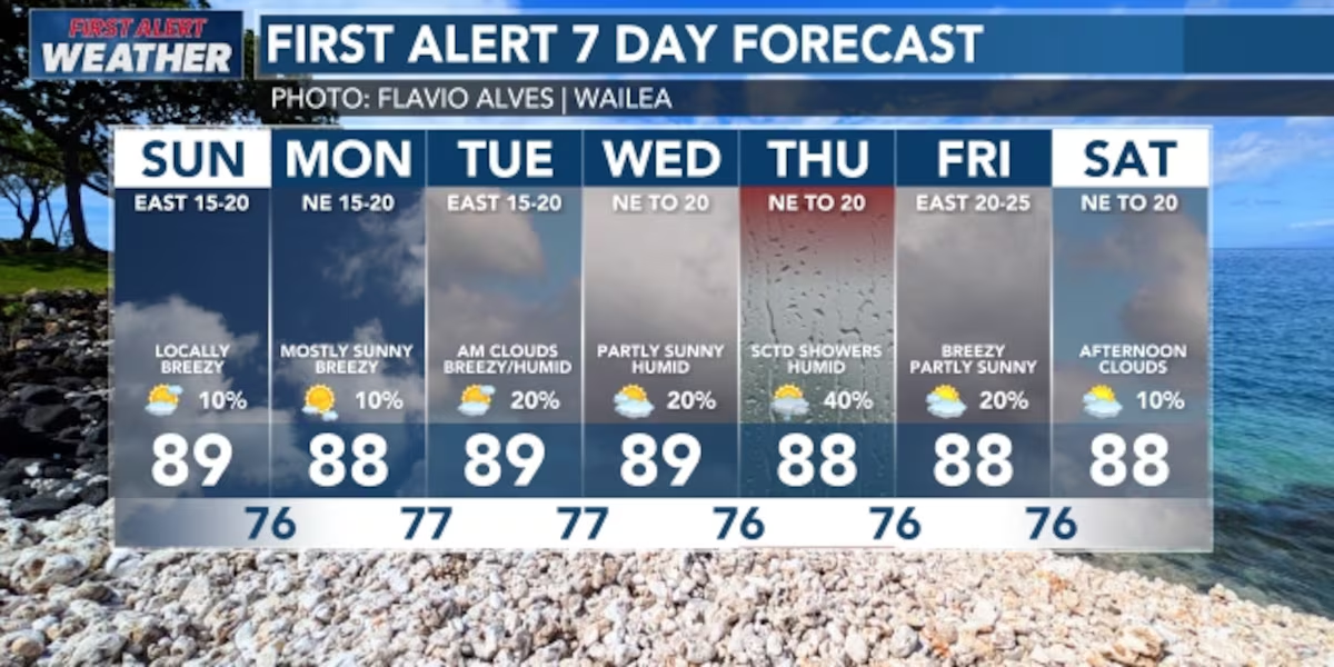
HONOLULU (HawaiiNewsNow) – Moderate to locally breezy trade winds weather continues through tomorrow before gradually decreasing; another round of moisture will move in from the east by next Tuesday, increasing shower activity across the state, possibly thru Thursday.
Read more Likelike Highway lane closures extended for utility work
Expect typical island weather through Sunday, with trade winds keeping brief passing showers focused mainly along windward and mountain areas, while high clouds drift overhead. As we head into Monday night and midweek, our trade winds will drop off, making conditions feel noticeably muggier across all islands. By Wednesday, deep tropical moisture will bring a much higher chance of heavier, widespread rain, beginning on the Big Island and spreading as the system moves through.
View the latest weather conditions here.
Breezy, gusty trade winds will keep waters choppy and prompting a Small Craft Advisory around Maui County and the Hawaii Island through Monday afternoon. By the middle of the week, a weak tropical disturbance passing to our south could kick up the winds even more, bringing widespread passing showers and the chance of an isolated thunderstorm.
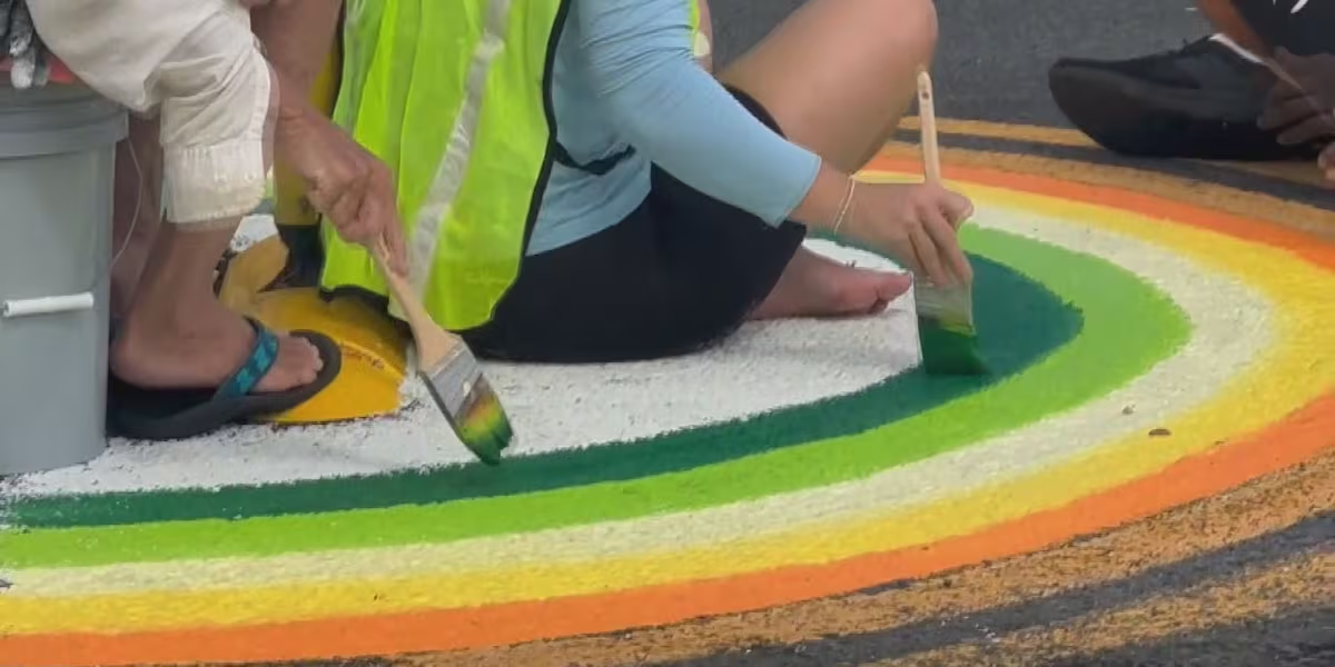
Read more Volunteers paint Kailua street mural honoring beloved teacher, promoting safety
For the beaches, south shores will see above-average, solid surf through Sunday before waves gradually fade toward midweek, while east-facing shores hold steady with choppy, moderate trade wind surf. North shores remain essentially flat until a tiny bump arrives Tuesday into Wednesday, followed by a slight rise in west-northwest swell late next week.
Download the HNN Weather app from the Apple App Store or Google Play for the latest updates from your First Alert Weather Team: chief meteorologist Jennifer Robbins and weather anchors Guy Hagi, Dan Cooke, Ben Gutierrez, and Billy V.
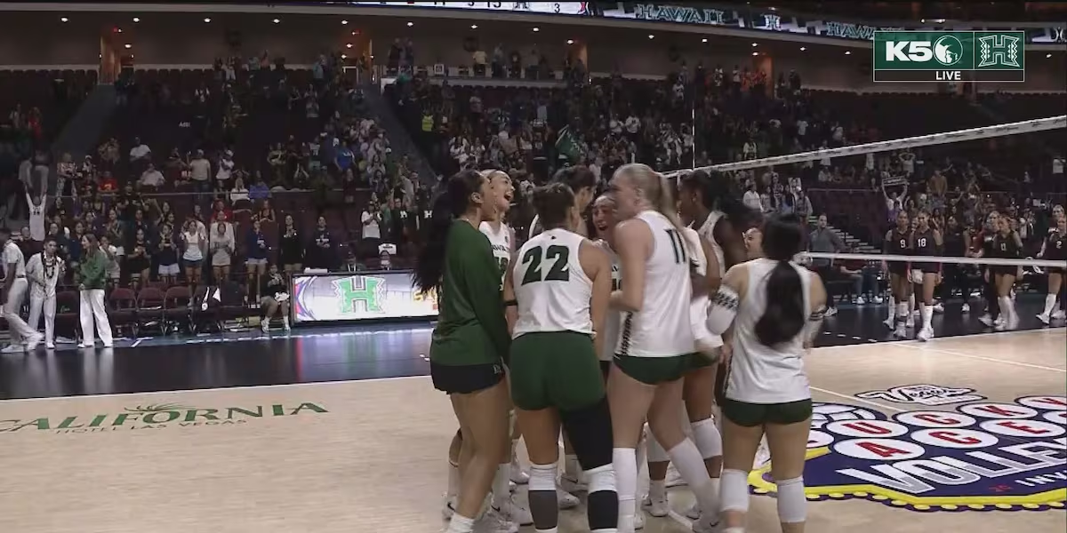
Read more ‘Bows survive hard-fought 5-set battle against Iowa State





Post Comment