First Alert Forecast: Breezy trades Monday, but more showers possible late this week
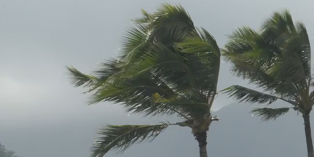
HONOLULU (HawaiiNewsNow) – Breezy trade wind weather is expected Monday and Tuesday with light passing showers for windward and mauka areas. But there’s a First Alert for possible major changes for the latter part of the week.
Read more What’s Cooking: Weeklong breadfruit celebration kicks off in Kona with healthy culinary twists
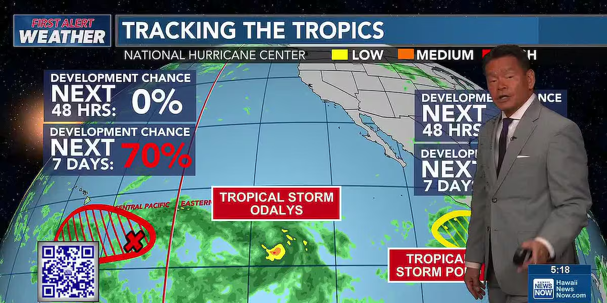
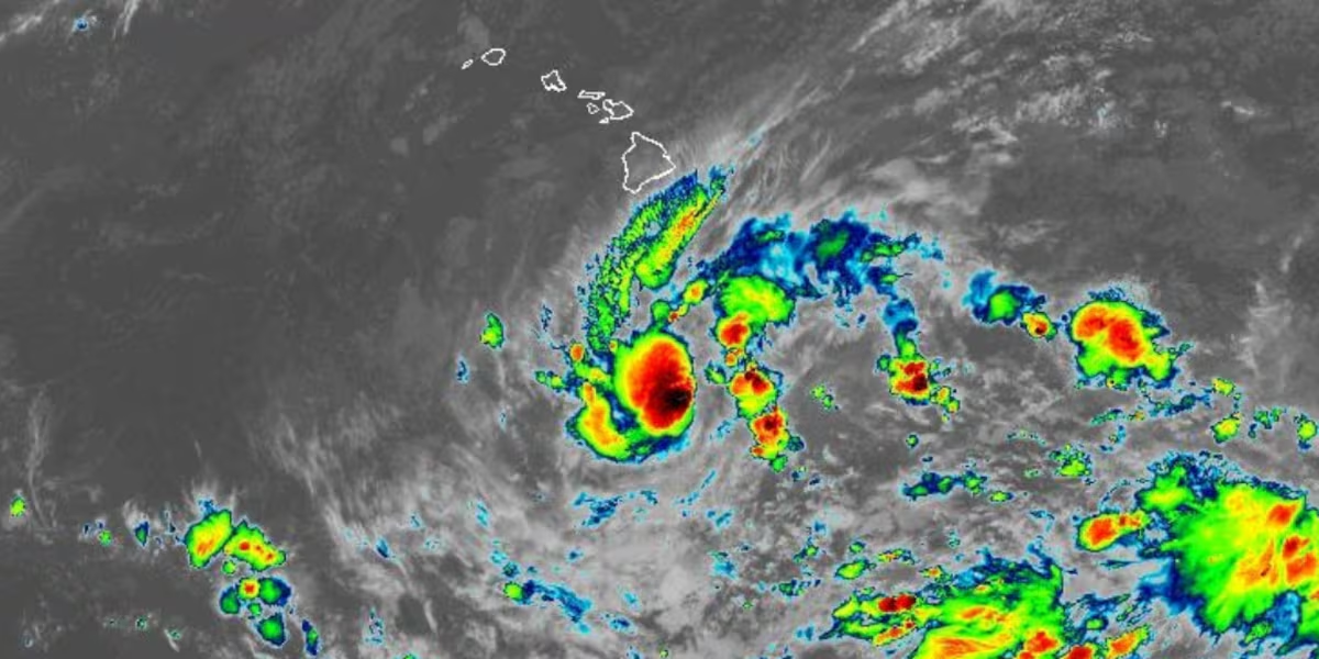
We’re keeping a close eye on the remnants of Tropical Depression 15-E. Some forecast models point to it redeveloping into a tropical cyclone to the south of Hawaii, and the National Hurricane Center says there’s a 70% chance of that happening. If if does, more tropical moisture could be drawn northward, especially for the islands of Hawaii and Maui, with the chance for locally heavy rain and isolated thunderstorms.
At the moment, there’s a high level of uncertainty in the forecast. For now, the highest chance for heavy rain is Thursday into Friday, but isolated thunderstorms may be possible all the way from Tuesday night through midday Saturday. We’ll closely monitor the forecasts over the next several days.
Read more What’s Cooking: Mama’s Boy shares art of lumpia making, Filipino heritage cuisine
View the latest weather conditions here.
Surf will remain a bit above average for south shores as a south-southwest swell holds steady for the next few days, with some west shores getting that energy. The breezy trades will push choppy waves for east-facing shores. North shores will remain mostly flat.
Download the HNN Weather app from the Apple App Store or Google Play for the latest updates from your First Alert Weather Team: chief meteorologist Jennifer Robbins and weather anchors Guy Hagi, Dan Cooke, Ben Gutierrez, and Billy V.




Post Comment