First Alert Forecast: Mostly dry weather starts the week, but remnants of Norbert to bring showers
HONOLULU (HawaiiNewsNow) – Mostly dry and pleasant trade wind conditions are expected Monday with only light windward showers. Clouds and showers will increase a bit late Monday into Tuesday, especially for Hawaii Island.
Read more KIUC restores 81% of Kauai power; some North Shore restorations could begin in days
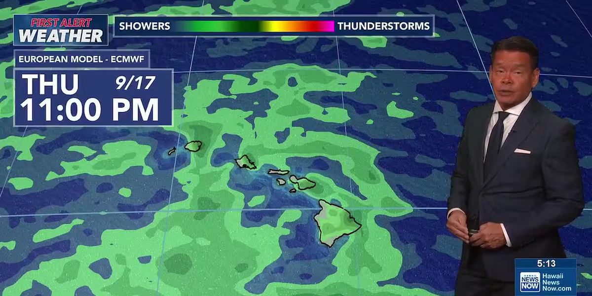
A First Alert for more major changes later in the week, when remnants of Tropical Storm Norbert move through the islands. First, trade winds will increase as the pressure gradient tightens. Rainfall will also increase east to west from Wednesday night through Friday night. It will also get quite muggy as the tropical moisture moves through.
Be on the alert that some of the showers associated with Nobert’s remnants could be heavy and cause localized flooding, especially in areas where the ground is still saturated from recent storms, including Hurricanes Lala and Lowell.
View the latest weather conditions here.
Surf along south-facing shores is fading, but some long-period swells are expected this week, including one near the upcoming weekend that could flirt with the high surf advisory threshold.
Read more Kilauea, Hanalei elementary schools to reopen this week after Hurricane Lowell, HIDOE says
Elsewhere, east shore waves will rise as the trade winds strengthen later in the week. Flat to tiny surf conditions are expected for north shores through the week.
Download the HNN Weather app from the Apple App Store or Google Play for the latest updates from your First Alert Weather Team: chief meteorologist Jennifer Robbins and weather anchors Guy Hagi, Dan Cooke, Ben Gutierrez, and Billy V.
Read more ‘Show aloha’: Hanalei restaurant gives out free food after Hurricane Lowell






Post Comment