First Alert Forecast: Breezy trade wind weather ahead of tropical cyclone Fausto
HONOLULU (HawaiiNewsNow) – Breezy trade winds will transport passing showers over windward and mauka areas, mainly during nighttime and morning hours, through Monday.
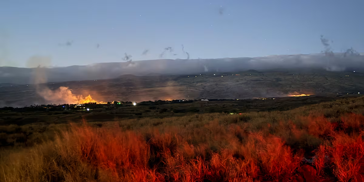
Read more Evacuations ordered for Kawaihae Village due to wildfire
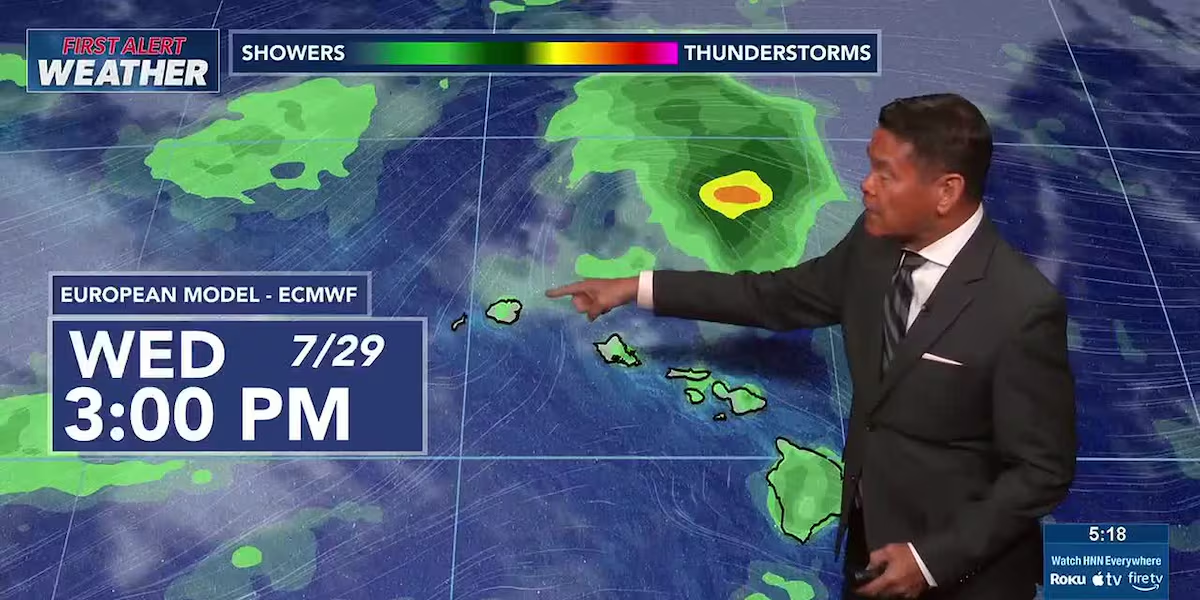
A First Alert for changes that will start Tuesday as now-hurricane Fausto approaches the islands from the east. There’s a chance that we’ll see showers and some locally heavy rainfall as Fausto tracks to the north of the islands.
The current forecast track keeps Fausto’s center to the north, which will spare the islands from the strongest winds and heaviest rain. However, a slight shift southward could increase the wind and rainfall risk.
View the latest weather conditions here.
Surf will remain elevated on south shores, where a high surf advisory is posted through 6 a.m. Sunday, but it could be extended. Locally strong trades will increase the heights of rough waves on east shores.
Read more Suspect charged after alleged Kalihi vehicle theft ends in crash
Another First Alert related to Fausto, which is forecast to generate warning-level waves for east shores, with wave heights peaking Tuesday.
Download the HNN Weather app from the Apple App Store or Google Play for the latest updates from your First Alert Weather Team: chief meteorologist Jennifer Robbins, meteorologist Drew Davis, and weather anchors Guy Hagi, Ben Gutierrez, and Billy V.
Read more Topa Financial Center remains without power after chiller leak








Post Comment