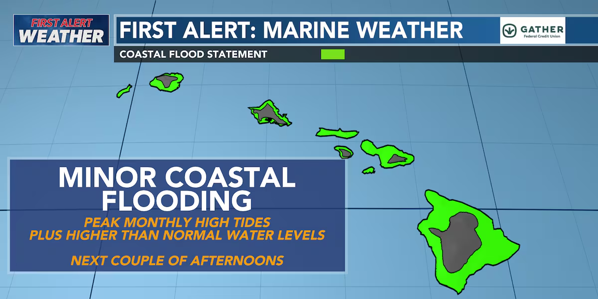
First Alert Forecast: Tracking higher than normal tides; minor coastal flooding
HONOLULU (HawaiiNewsNow) – Happy Monday! Trade winds remain locally breezy today but will gradually ease through the middle of the week as a disturbance aloft weakens the pressure gradient over the islands.
Read more A surprise visitor: Monk seal welcomes Waimea Bay finishers
Winds are expected to drop to moderate levels Tuesday and Wednesday before strengthening again later this week into the weekend.
Typical windward and mauka showers will continue, with a slight increase in moisture Tuesday and Wednesday bringing a few more passing showers. If winds weaken enough, some afternoon sea breezes could also spark clouds and a few isolated showers over leeward interior areas.
For mariners, a Small Craft Advisory remains in effect for the windier waters and channels around Maui County and the Big Island through early Tuesday, while advisories for Maui County coastal waters and the Kaiwi Channel expire this evening as winds gradually ease.
Surf along south-facing shores will peak today from a small, long-period southwest swell before slowly fading through midweek.
Read more Navy seeks public input on landing ships at JBPHH
Another series of small south and southwest swells is expected later this week into the weekend.
East shore surf will continue to trend downward as the trade winds ease, while north shore surf remains tiny with only small west and west-northwest swells expected.
Minor coastal flooding remains possible during afternoon high tides through Tuesday as higher-than-normal water levels combine with peak monthly tides.
View the latest weather conditions here.
Download the HNN Weather app from the Apple App Store or Google Play for the latest updates from your First Alert Weather Team: chief meteorologist Jennifer Robbins, meteorologist Drew Davis, and weather anchors Guy Hagi, Ben Gutierrez, and Billy V.
Read more Vision for Iwilei redevelopment keeps future Skyline station at its core







Post Comment