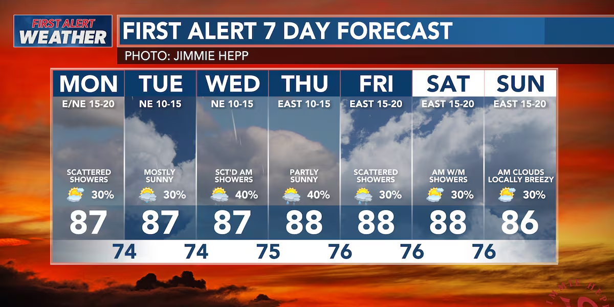
First Alert Forecast: Increased rainfall chances expected midweek
HONOLULU (HawaiiNewsNow) – Well, it is that time of year… trade winds, trade winds, and more trade winds! High pressure continues to be anchored just to the north of the state, leading to the continuous trade wind flow we’ve been experiencing for weeks now.
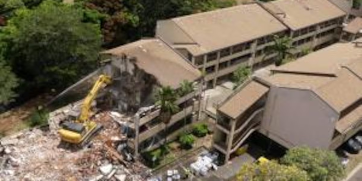
Read more UH Manoa begins Hale Noelani demolition
The trades should weaken slightly on Tuesday before restrengthening over the weekend. Expect breezy conditions to persist each afternoon.
Rainfall chances will continue to be highest in the mountains and over windward areas. The best chance for rainfall will be in the overnight to early morning hours of each day. Increased moisture will ride in along the trade winds during the middle of this week, increasing the chance for windward rainfall Tuesday through Thursday.
Read more Kauai County monitors shifting Waimea River mouth
A small southwest swell will continue to fill in Sunday night, providing inconsistent surf on south-facing shores. East-facing shores will remain rough and choppy throughout the remainder of this week due to the trade winds.
View the latest weather conditions here.
Download the HNN Weather app from the Apple App Store or Google Play for the latest updates from your First Alert Weather Team: chief meteorologist Jennifer Robbins, meteorologist Drew Davis, and weather anchors Guy Hagi, Ben Gutierrez, and Billy V.
Read more No ‘large cat-like animal’ found at Manoa Falls, DLNR says







Post Comment