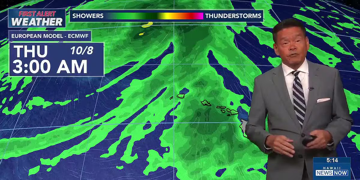
First Alert Forecast: More showers and potentially heavy rain expected this week
HONOLULU (HawaiiNewsNow) – Breezy trade winds are expected Monday with limited showers for windward and mauka areas, but some changes in the form of southerly winds and more showers are brewing by midweek.
Read more Nolo still going strong, now a typhoon in the western North Pacific
An upper level low to the northwest will turn winds out of the southeast by late Tuesday, and then the south by Wednesday. This will pull deep tropical moisture over the islands, with a First Alert for more showers and potentially heavy rainfall late Wednesday night into Thursday.
There are still questions over the exact timing and location of the heaviest rainfall, but the southerly winds and showery conditions can be expected from late Wednesday into Friday, and possibly into the upcoming weekend.
View the latest weather conditions here.
Some surf is coming in with the new week. First up, there’s a new small, long-period south swell that will peak slightly above average Tuesday and Wednesday. A medium-period northwest swell will peak Monday into Tuesday. East shore surf will remain choppy and elevated with the trade winds.
Read more Honolulu Pride Month opens in Waikiki honoring Kapaemahu healers
Looking further ahead, a swell generated by Super Typhoon Choi-Wan in the far western Pacific may arrive around Thursday, which could produce some moderate surf for west-facing shores of Hawaii Island.
Download the HNN Weather app from the Apple App Store or Google Play for the latest updates from your First Alert Weather Team: chief meteorologist Jennifer Robbins and weather anchors Guy Hagi, Dan Cooke, Ben Gutierrez, and Billy V.







Post Comment