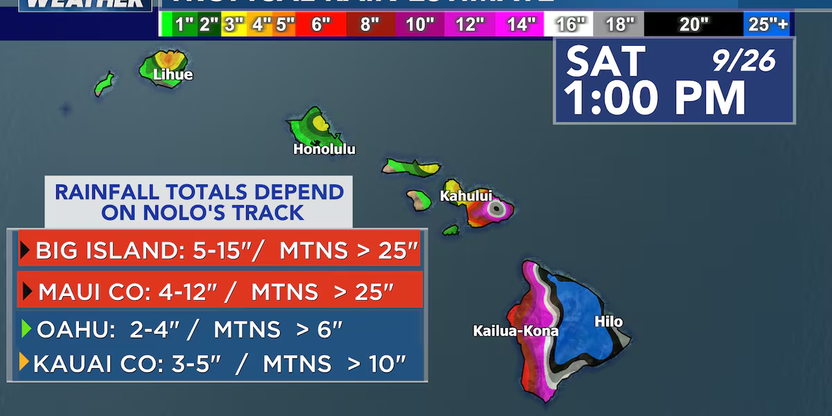
First Alert Forecast: Hawaii Island and Maui County need to prepare now for heavy rains from developing storm Nolo
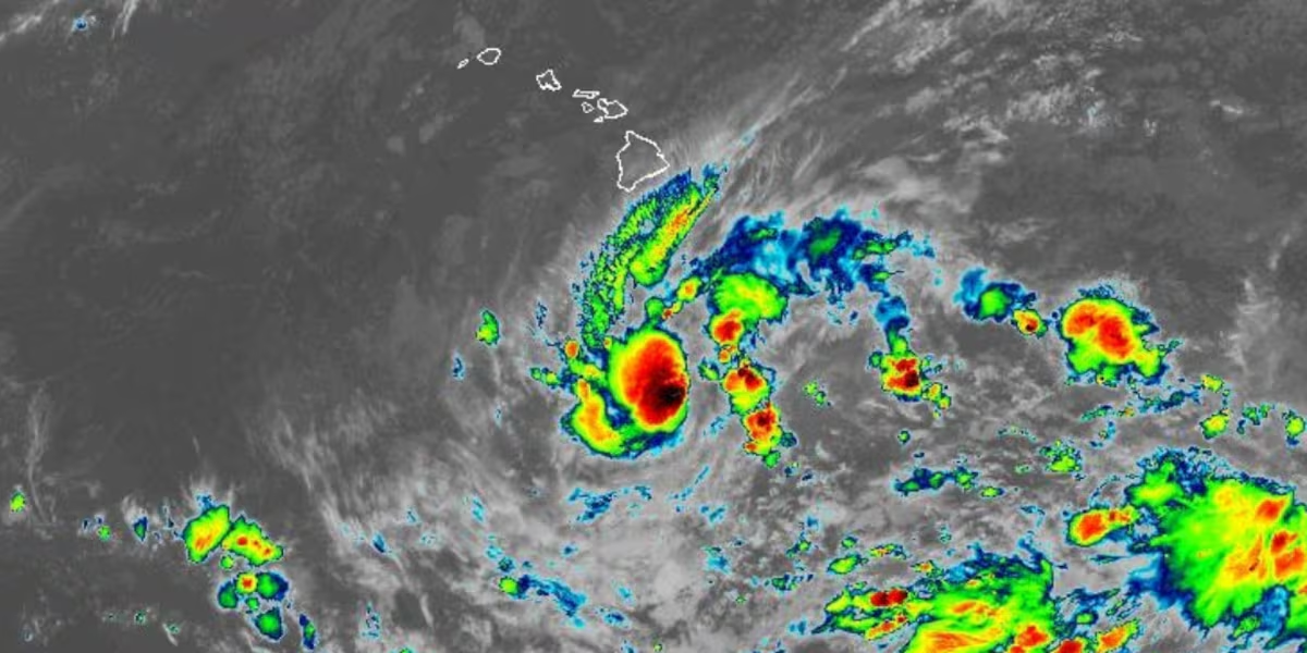
HONOLULU (HawaiiNewsNow) – Once Nolo develops, weather models show that the storm will sluggishly move near the islands which is a big concern for significant rain. The wind shear will back down, allowing the storm to intensify today into tomorrow, likely officially being named “Nolo” as it becomes more organized. Overall, this is looking like a more serious situation for our friends and ohana on Hawaii Island.
Read more 2026 Na Wahine O Ke Kai race from Molokai to Oahu canceled due to weather
A flood watch is up for Hawaii Island and Maui County in anticipation of significant rains starting Wednesday evening and lasting until Saturday afternoon.
Right now, steering winds are practically nonexistent, so think of it like a leaf drifting in a still pond. Because it’s taking its time, it has the potential to drag a massive plume of tropical moisture over the islands and just let it sit there.
If you’re on the Big Island, especially along the windward and southeast sides, you’ll likely start seeing showers as early as Wednesday, with the heaviest and most persistent rain setting in Wednesday night through Saturday morning. You will likely need to prepare for significant rain and with a short window, likely need to get ready now. The worst of the heavy rains will likely pop up on the radar Thursday afternoon into Friday.
When rain pours over the same spots for hours on end, flash flooding becomes a real concern very quickly.
Read more Trial opens for Maui man accused of killing police officer
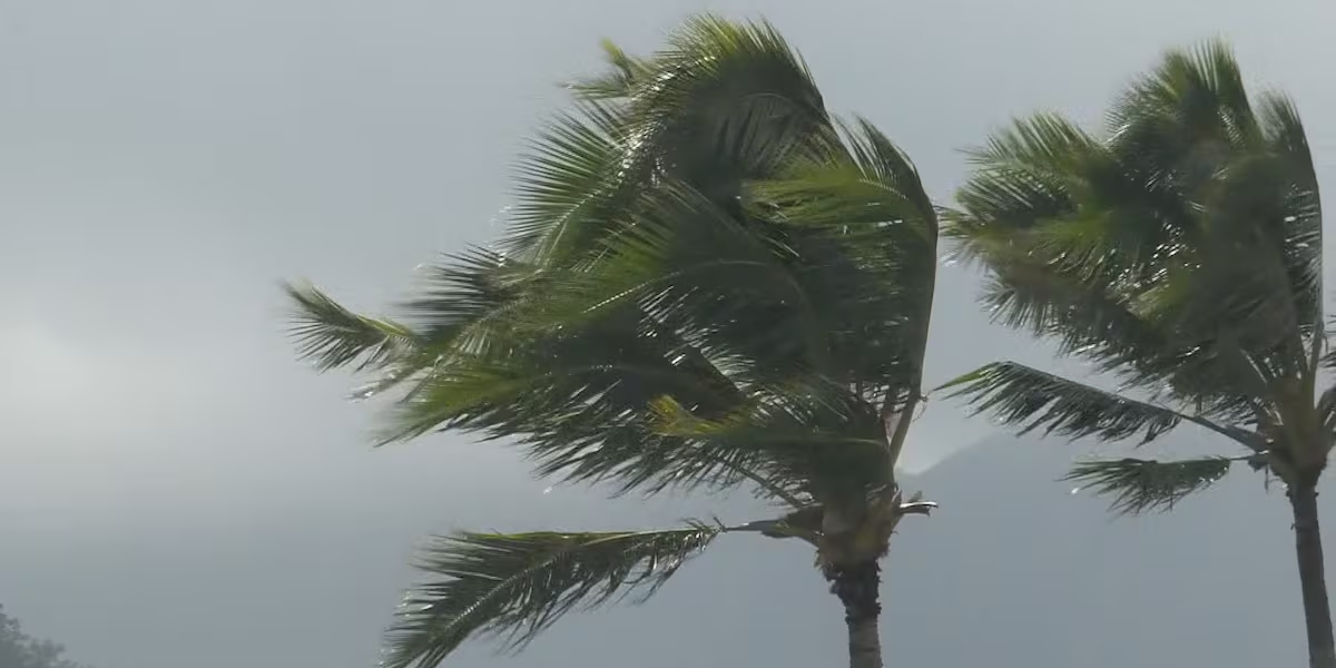
Even if the storm stays well offshore, we’re still in for a windy stretch. The low pressure from this developing system is squeezing against strong high pressure to the northeast, which acts like a nozzle on a garden hose. That pressure pinch could crank up trade wind gusts to 50–60 mph across eastern parts of the state and through mountain gaps by Friday.
Things should get much clearer over the next 24 to 48 hours as the low organizes and atmospheric steering currents pick up. Until then, it’s a good idea to clear out your rain gutters, secure anything loose in the yard, and keep an eye on the local forecast updates.
View the latest weather conditions here.
Download the HNN Weather app from the Apple App Store or Google Play for the latest updates from your First Alert Weather Team: chief meteorologist Jennifer Robbins and weather anchors Guy Hagi, Dan Cooke, Ben Gutierrez, and Billy V.
Read more ‘Bows prepare for high-altitude showdown with Wyoming




Post Comment