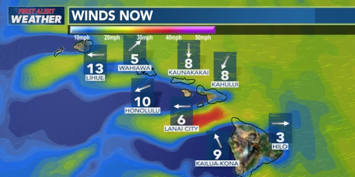
First Alert Forecast: Gusty trade winds to kick off the weekend
HONOLULU (HawaiiNewsNow) – Breezy to locally windy conditions are in the forecast as an area of high pressure strengthens to the north.
Read more 2 arrested after Honolulu police shut down alleged gambling operation
The trade winds will increase Friday afternoon into Saturday, with the strongest winds around mountain ridges, downslope areas and valleys.
This east-northeast winds could be strong enough to warrant a wind advisory for some of those areas, especially for the islands of Maui County an Hawaii. The trades should ease a bit Sunday.
A drier airmass will also be moving in with the winds, so it should be less muggy, with the usual showers for windward and mauka areas.
Read more Police investigate alleged theft of luxury items on Maui
The trades could get disrupted again mid-week as remnant circulation from weakening Tropical Storm Genevieve moves into the area where high pressure usually resides in the summer.
View the latest weather conditions here.
In surf, waves on south shores are slowly declining, while east shore wave heights will be on an upward trend from swells from the increasing trades and Genevieve. North and west shore waves will be small to flat.
Download the HNN Weather app from the Apple App Store or Google Play for the latest updates from your First Alert Weather Team: chief meteorologist Jennifer Robbins, meteorologist Drew Davis, and weather anchors Guy Hagi, Ben Gutierrez, and Billy V.
Read more Chicago conference helps Hawaii lawmakers track national policy trends, tech innovations





Post Comment