First Alert Forecast: Tracking humid weather and feeling the heat behind Fausto
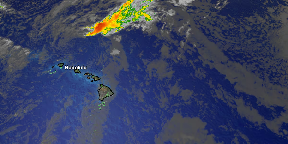
HONOLULU (HawaiiNewsNow) – Fausto is no longer a tropical cyclone. It has weakened into a post-tropical remnant low and is passing north of the Hawaiian Islands.
Read more Clash erupts after Laie woman sentenced for beating adopted daughter to death
That means we’re transitioning back to more typical summer weather. Winds will stay light and variable today, making it feel warm and muggy, with sea breezes helping to spark afternoon clouds and a few showers over island interiors.
While most areas won’t see much rain, a few heavier downpours are still possible with the higher humidity and sea breeze.
Fairly isolated- and likely over mauka initially but can spread. Surf from Fausto is dropping quickly, and the High Surf Advisory has been canceled.
Looking ahead, breezy trade winds return tonight and will strengthen through the end of the week into the weekend.
Read more Hawaii Career Expo expands job opportunities across Oahu
That means more comfortable humidity, cooler nights, and the usual windward and mauka showers.
East shore surf will build again later this week, this time from strengthening trade winds and swell generated by Hurricane Genevieve, while a south swell will bring near-seasonal surf to south-facing shores on Thursday.
View the latest weather conditions here.
Download the HNN Weather app from the Apple App Store or Google Play for the latest updates from your First Alert Weather Team: chief meteorologist Jennifer Robbins, meteorologist Drew Davis, and weather anchors Guy Hagi, Ben Gutierrez, and Billy V.
Read more Hilo man charged after police seize nearly 2 pounds of cocaine






Post Comment